

Wild & Scenic Rivers Map
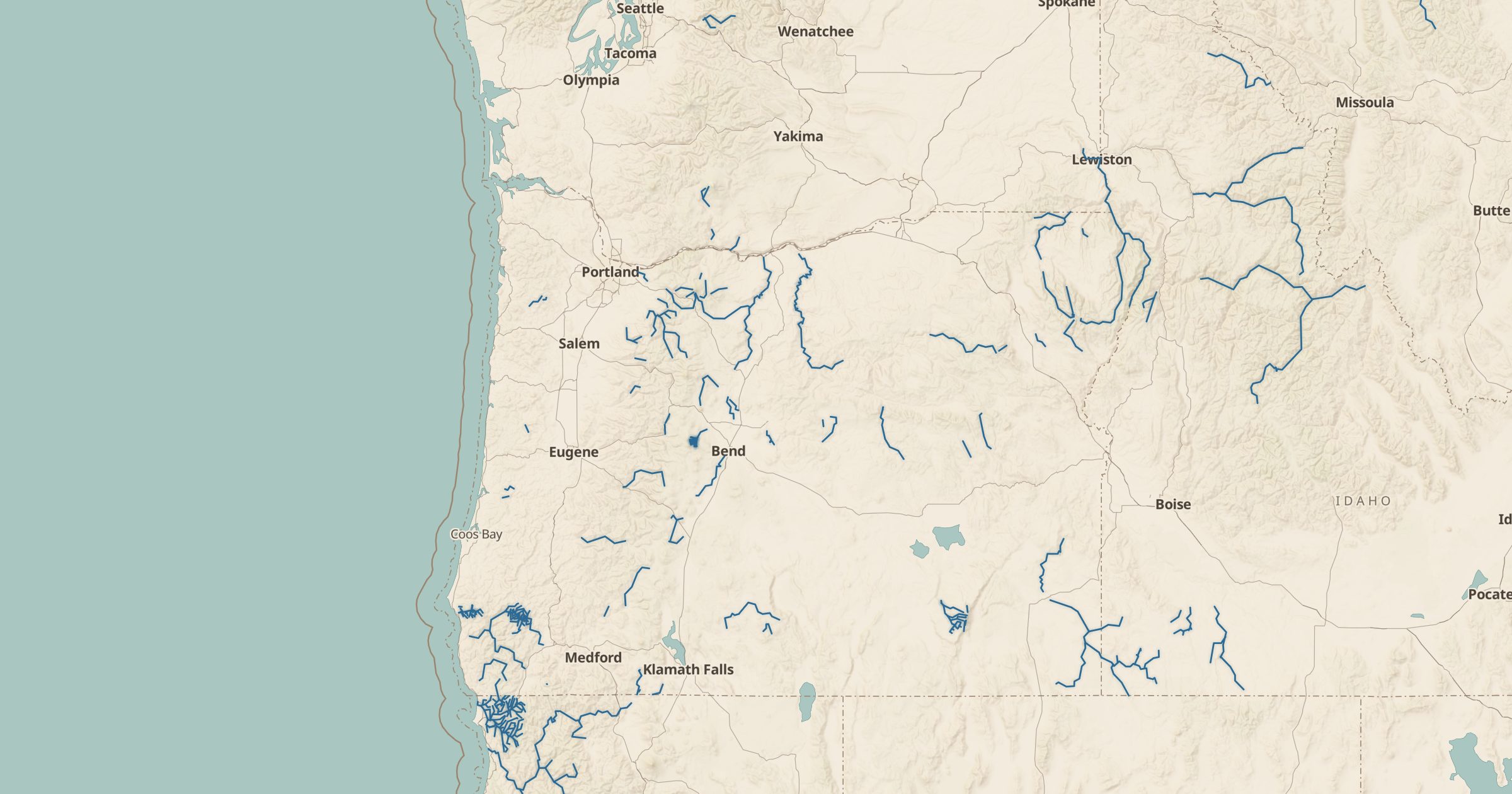
Map designated Wild and Scenic River segments across the US, protected for their free-flowing character, scenery and recreation.
 Explore this map →
- 234river segments
- USFSsource
- Public domainlicense
- 98layers to stack it with
About this layer
The Wild and Scenic Rivers Act of 1968 protects selected rivers from dams and other development so they stay free-flowing. This layer maps 234 designated Wild and Scenic River segments, using USDA Forest Service Wild and Scenic Rivers data. Segments are classified as wild, scenic or recreational depending on how developed their shorelines are.
Use the layer to find rivers for paddling, rafting and fishing trips, or to see how much river protection exists in states like Oregon, which has many designated rivers. Add USGS Stream Gauges to check live flows before a float, Boat Ramps for access points, and campgrounds for a place to stay near the water.