

Water & camping
Boat Ramps Map: Public Boat Launches
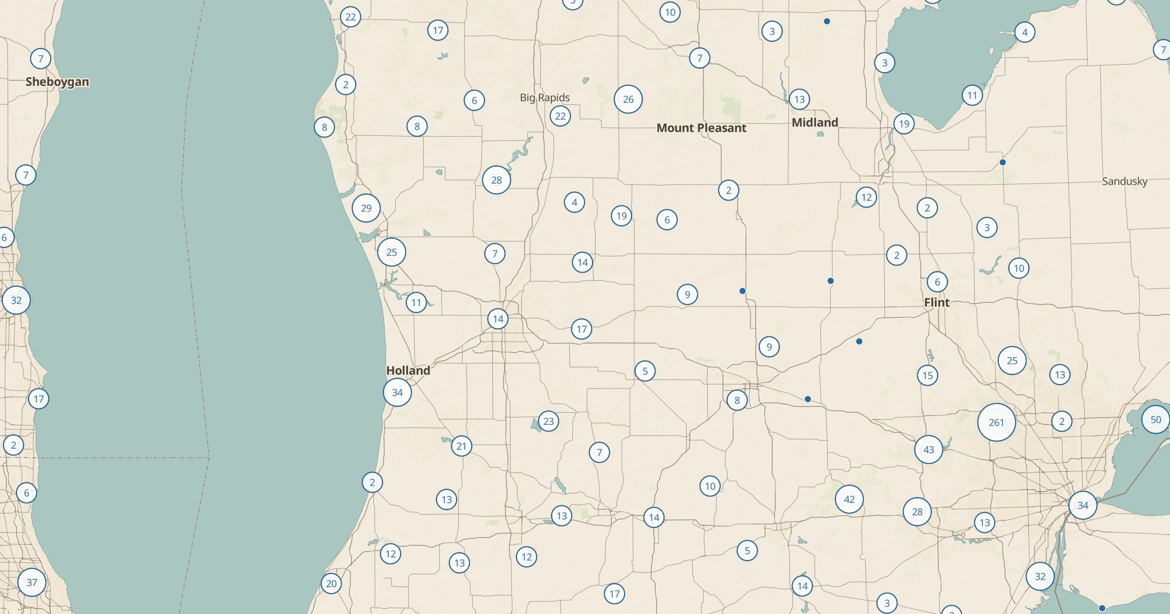
Map 30,000+ boat ramps and slipways across the US from OpenStreetMap. Find a launch for your boat, kayak or canoe.
 Explore this map →
- 30,550boat ramps
- OpenStreetMapsource
- ODbL 1.0license
- 98layers to stack it with
About this layer
Whether you tow a boat or carry a kayak, you need a place to put in. This layer maps 30,550 boat ramps and slipways in the US recorded in OpenStreetMap, with data © OpenStreetMap contributors under the ODbL. Use it to find a launch on a new lake, plan put-in and take-out points for a river float, or find ramps near a campground.
Pair it with USGS Stream Gauges to check river flows, NOAA Tide Stations for coastal launches, Wild and Scenic Rivers for paddling destinations, and Army Corps Recreation Sites for lakes with full facilities. Some ramps are private or charge a fee, so check local signs and rules before launching.