

Waterfalls Map of the US
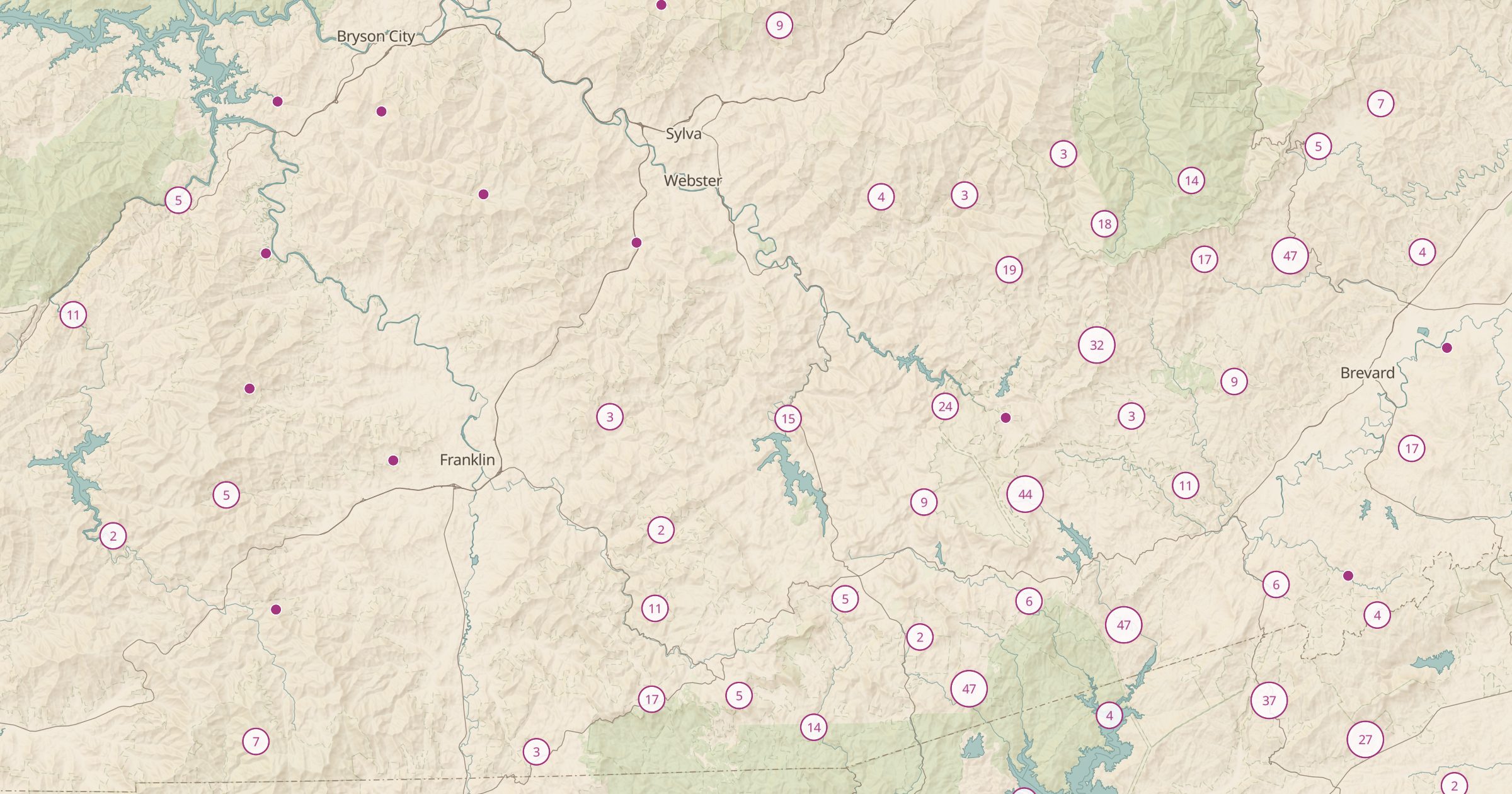
Map 10,974 waterfalls across the US from OpenStreetMap. Find falls near you or plan a waterfall road trip in the Pacific Northwest and beyond.
 Explore this map →
- 10,974waterfalls
- OpenStreetMapsource
- ODbL 1.0license
- 98layers to stack it with
About this layer
Waterfalls make great hiking destinations, but they are scattered and often poorly signed. This layer maps 10,974 waterfalls in the US recorded in OpenStreetMap, the volunteer-built world map, with data © OpenStreetMap contributors under the ODbL. Clusters appear in the Pacific Northwest, the southern Appalachians and the Northeast.
Use the layer to find a waterfall near home, plan a waterfall road trip, or pick a short hike for a rainy-season weekend when flows are high. Combine it with Forest Service Trails, National Park Trails and trailheads to see how to reach each fall, and with USGS Stream Gauges to check whether the creek is running strong.