

Fishing Spots Map: Public Fishing Access
Map public fishing spots and access points across the US from OpenStreetMap. Combine with boat ramps, stream gauges and tide stations.
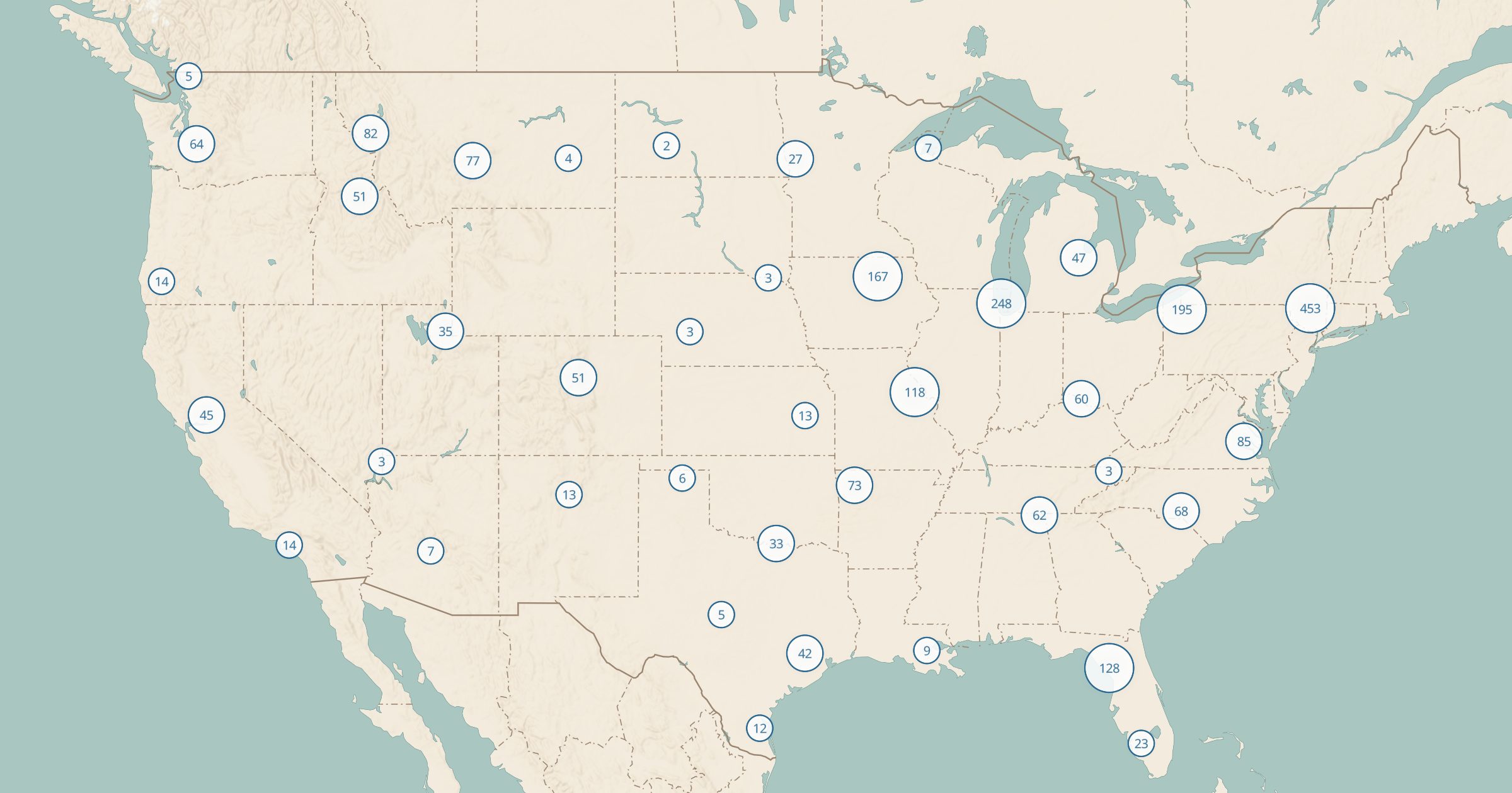 Explore this map →
- 2,394fishing spots
- OpenStreetMapsource
- ODbL 1.0license
- 98layers to stack it with
About this layer
Finding a place to fish with legal public access is often the hardest part of fishing somewhere new. This layer maps 2,394 public fishing spots and access points in the US recorded in OpenStreetMap, with data © OpenStreetMap contributors under the ODbL. It includes piers, platforms and marked shore access.
Use it with Boat Ramps for launch points, USGS Stream Gauges to check river levels, and NOAA Tide Stations for saltwater timing. Army Corps Recreation Sites and Wild and Scenic Rivers add more water to explore. Coverage is partial, so treat the layer as a starting point, and always check state fishing regulations and license requirements before you cast.