

Wilderness Areas Map: All US Wilderness
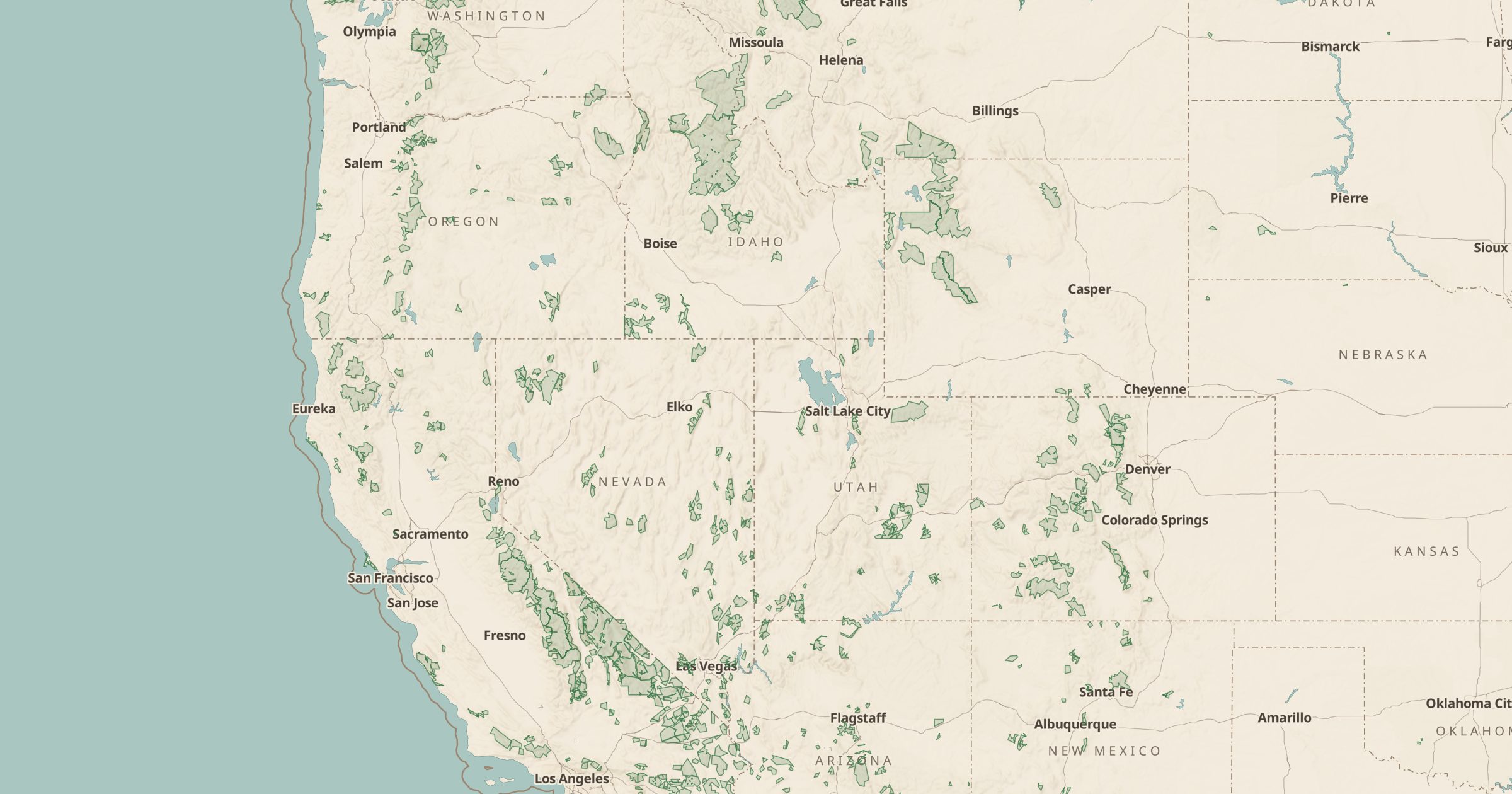
Map all 800+ designated wilderness areas managed by the Park Service, Forest Service, BLM and Fish & Wildlife Service. Plan trips into wild country.
 Explore this map →
- 841wilderness areas
- Wilderness Connectsource
- Public domainlicense
- 98layers to stack it with
About this layer
Designated wilderness is the strictest protection US public land can get. Under the Wilderness Act of 1964, these areas have no roads and no motorized or mechanized travel, which means no bikes either. This layer maps the boundaries of all 841 designated wilderness areas, managed by the National Park Service, Forest Service, BLM and Fish and Wildlife Service, using data from Wilderness Connect (wilderness.net).
Use it to plan backpacking trips, check whether a trail crosses into wilderness before you bring a mountain bike, or find solitude away from busier park areas. Many wilderness areas require permits, so add Ranger Stations to see where to get them, and Forest Service Trails to see the routes in.