

Army Corps of Engineers Lakes Map
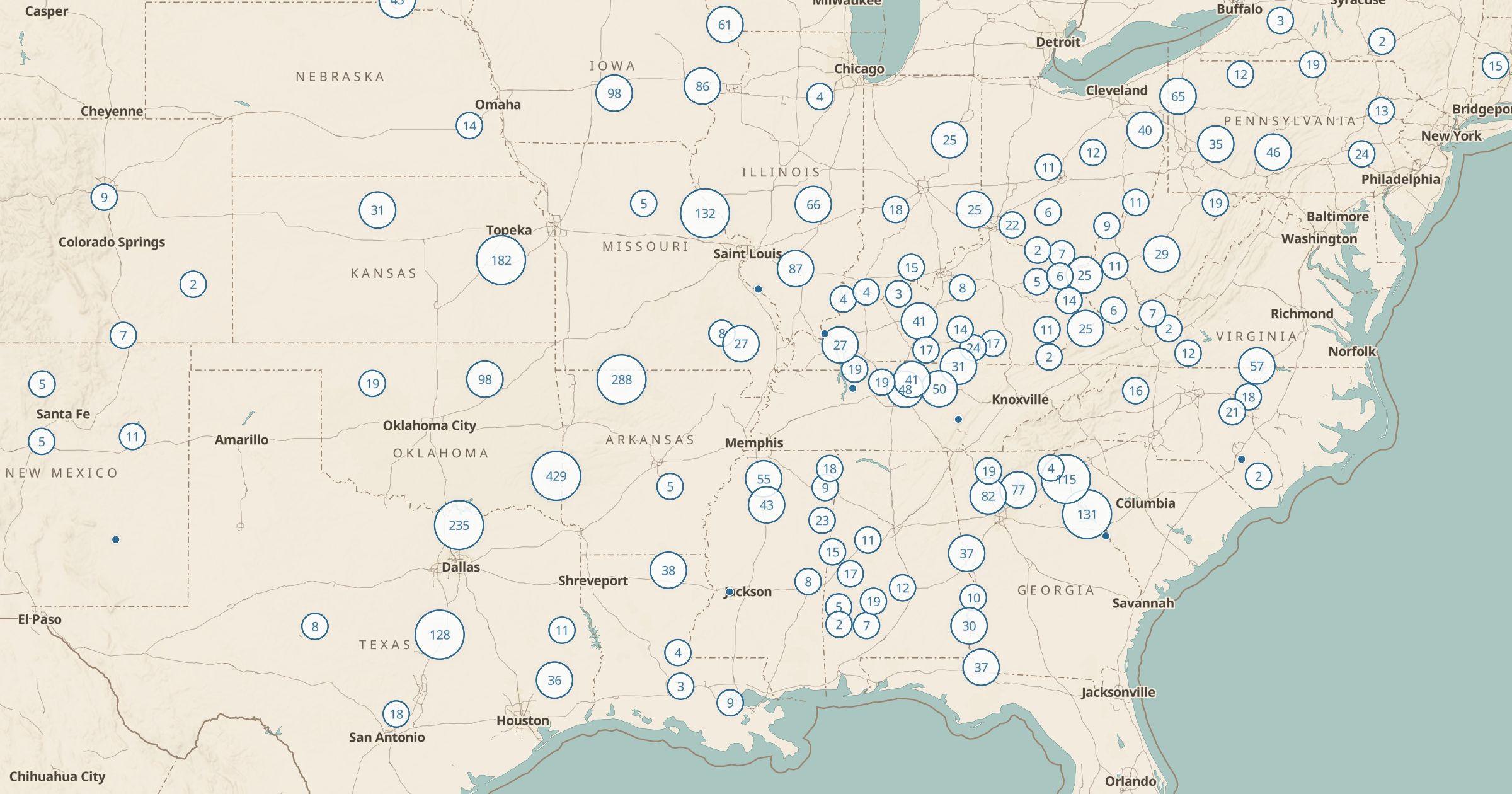
Map Army Corps of Engineers recreation sites: campgrounds, day-use areas, marinas and water access at Corps lakes across the US.
 Explore this map →
- 4,855recreation sites
- USACEsource
- Public domainlicense
- 98layers to stack it with
About this layer
The US Army Corps of Engineers built many of the country's reservoirs, and it runs recreation areas around them. This layer maps 4,855 USACE recreation sites, including day-use areas, campgrounds, marinas, boat launches and water-access points, from Army Corps data.
Corps lakes are often overlooked when people plan trips, even though many have good campgrounds, beaches and fishing close to cities in the South and Midwest. Use the layer to find a lake weekend within driving distance, then add Recreation.gov Campgrounds to see which sites are reservable and Boat Ramps for more launch options. It is a good layer for anglers, boaters and families looking for an easy summer trip.