

USGS Stream Gauges Map: Live River Levels
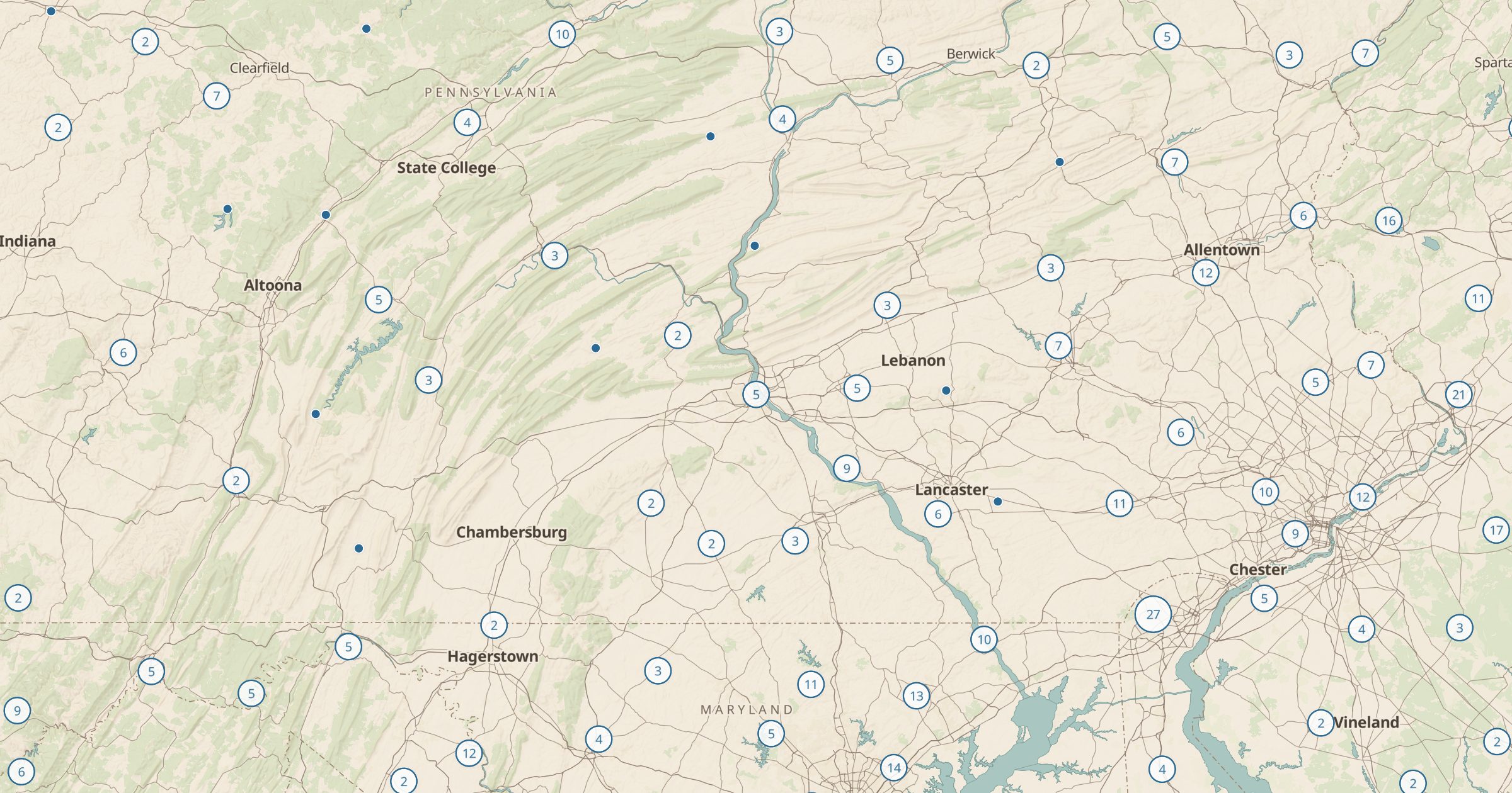
Map active USGS stream, lake and spring gauges and open any gauge for live readings. Check river flows for paddling, fishing and floods.
 Explore this map →
- 12,550gauges
- USGSsource
- Public domainlicense
- 98layers to stack it with
About this layer
USGS stream gauges measure how much water is moving through rivers and streams, often every few minutes. This layer maps 12,550 active USGS gauges on streams, lakes and springs, from USGS Water Services. Open a gauge to see its live readings, such as discharge and water level.
Paddlers use gauges to decide whether a river is runnable, anglers check them for wading conditions, and anyone near a river can watch for rising water during storms. Pair this layer with Wild and Scenic Rivers and Boat Ramps to plan a float, or with campgrounds to see how high the creek is next to your site. It is one of the most practical live layers in Bottomless Maps.