

Cave Entrances Map of the US
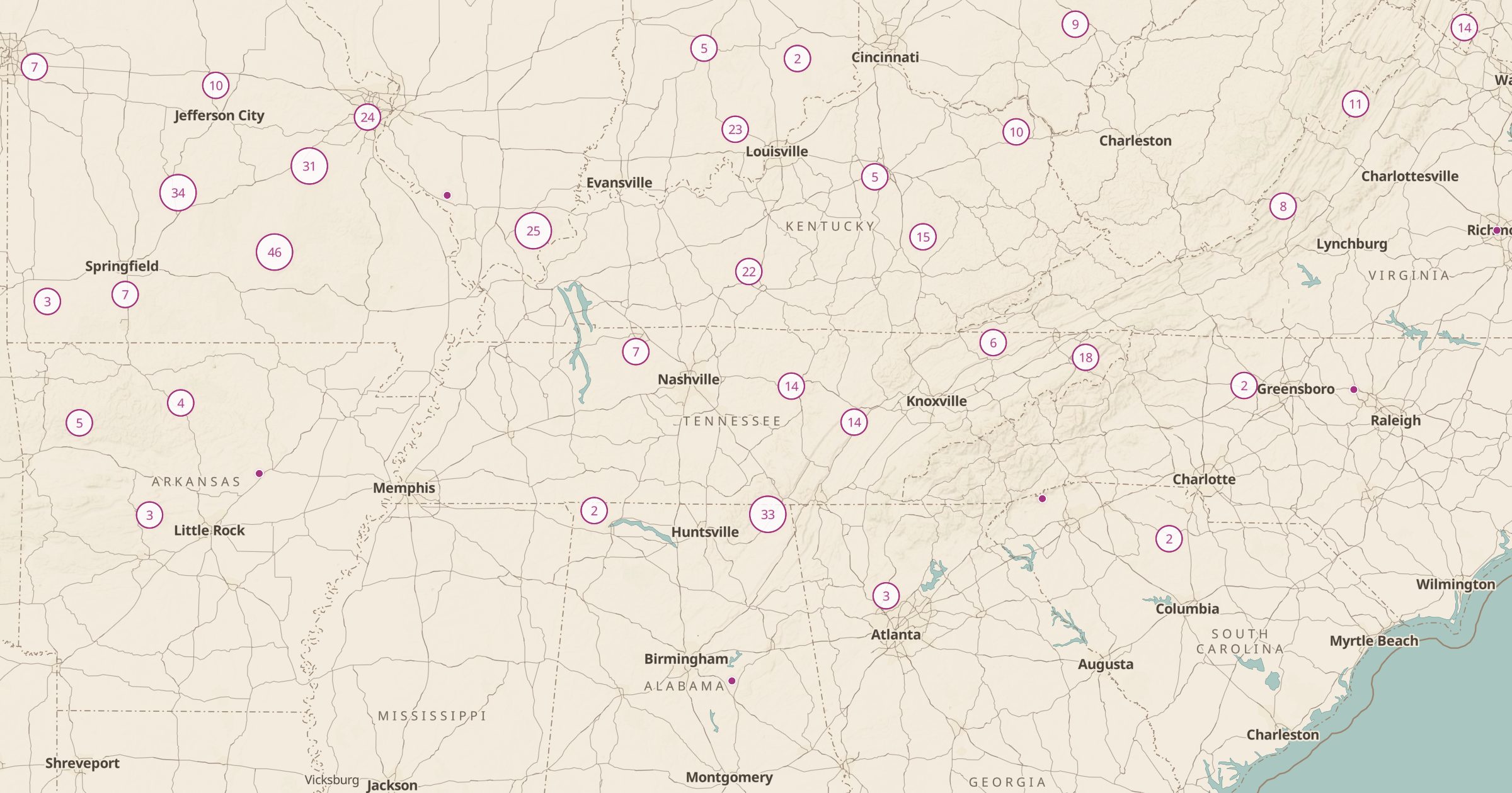
Map 1,668 cave entrances in the US from OpenStreetMap. Many are on private land or closed; check access and safety before you go.
 Explore this map →
- 1,668cave entrances
- OpenStreetMapsource
- ODbL 1.0license
- 98layers to stack it with
About this layer
The US has thousands of caves, from show caves with guided tours to wild caves known mostly to cavers. This layer maps 1,668 cave entrances recorded in OpenStreetMap, with data © OpenStreetMap contributors under the ODbL. Many entrances are on private land, closed to protect bats, or dangerous without proper training and equipment, so treat the map as a way to learn about cave country, not as an invitation to enter.
Karst regions in Kentucky, Tennessee, Missouri and the Southwest stand out. Combine the layer with National Park Service Sites to find caves with ranger-led tours, and with Florida Sinkhole Reports to explore other karst features.