

Scenic Overlooks & Viewpoints Map
Find scenic overlooks, viewpoints and wildlife-viewing sites on National Park, BLM and Forest Service land across the US.
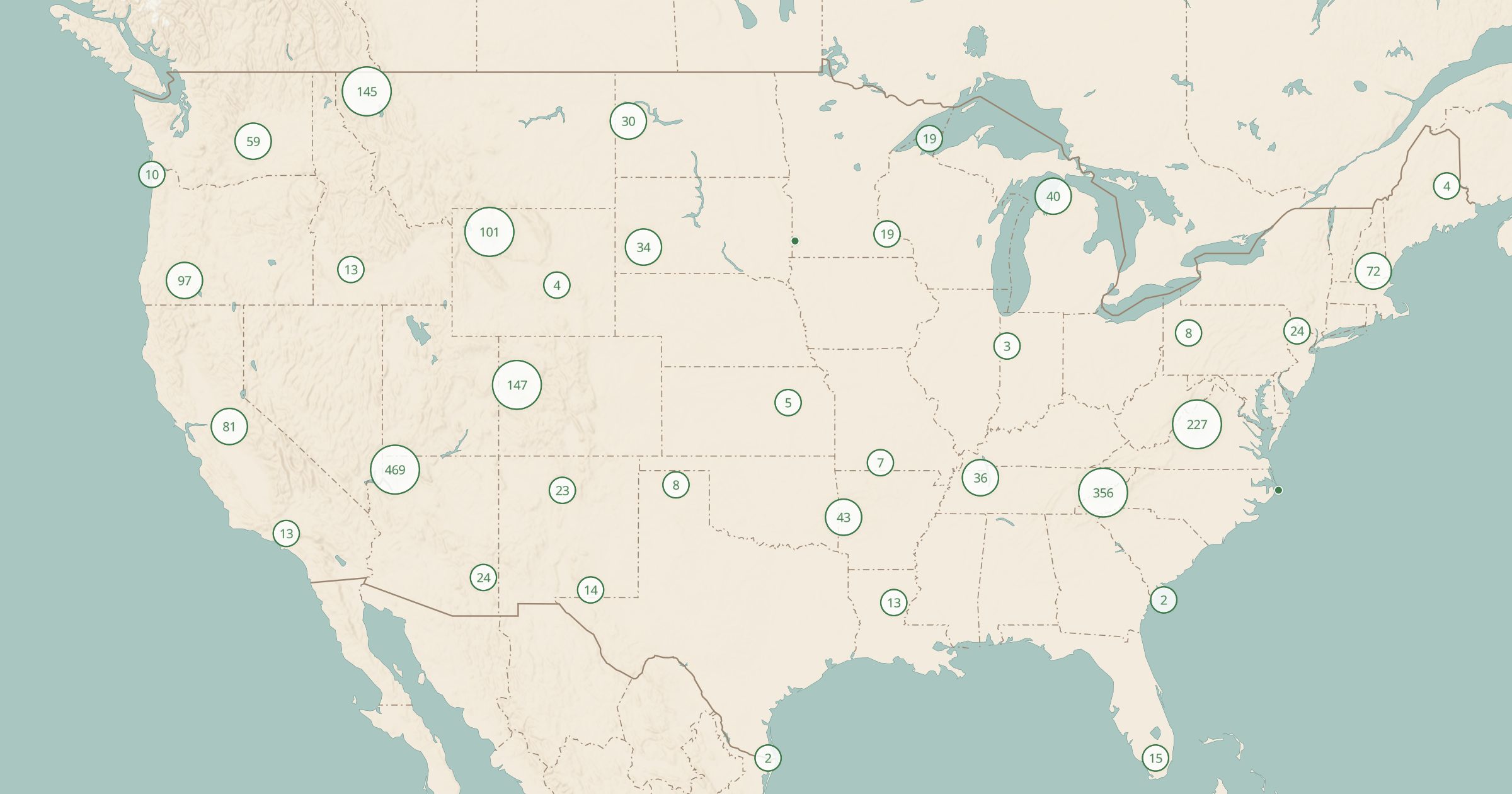 Explore this map →
- 2,250viewpoints
- NPS · BLM · USFSsource
- Public domainlicense
- 98layers to stack it with
About this layer
Some of the best stops on a road trip are pullouts with a view. This layer maps 2,250 scenic overlooks, viewpoints and wildlife-viewing sites on federal land, compiled from NPS Points of Interest, BLM Recreation Sites and USFS Recreation Sites. Because these are official sites, most have parking and a reason to stop.
Turn the layer on with Scenic Byways or National Park Roads to see where the viewpoints fall along a drive, then switch to 3D terrain to preview the landscape. It is also useful for photographers looking for sunrise and sunset spots, and for anyone with limited mobility who wants big views close to the car. Add Toilets to plan rest stops at the same time.