

National Park Hiking Trails Map
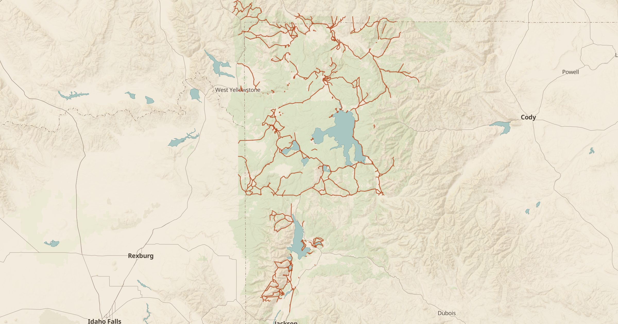
Map hiking trails inside national parks and other NPS units, from short nature walks to backcountry routes, using Park Service trail data.
 Explore this map →
- 9,277trail segments
- NPSsource
- Public domainlicense
- 98layers to stack it with
About this layer
Each national park publishes its own trail map, but they rarely line up with the land around them. This layer maps more than 9,000 trails inside National Park Service units, from the National Park Service Public Trails data. You can see a park's full trail network next to Forest Service trails, wilderness boundaries and campgrounds just outside the park.
Use it to plan day hikes from a campground, connect a park trail to a longer route on neighboring forest land, or compare trail density across parks. Turn on 3D terrain to see the elevation, and add Backcountry Sites, Drinking Water and Toilets to plan longer hikes. Saved maps let you keep a park plan and come back to it.