

National Forest Trails Map (USFS)
Map every National Forest System trail with trail class, surface, grade and allowed uses: hiking, biking, horse and motorized.
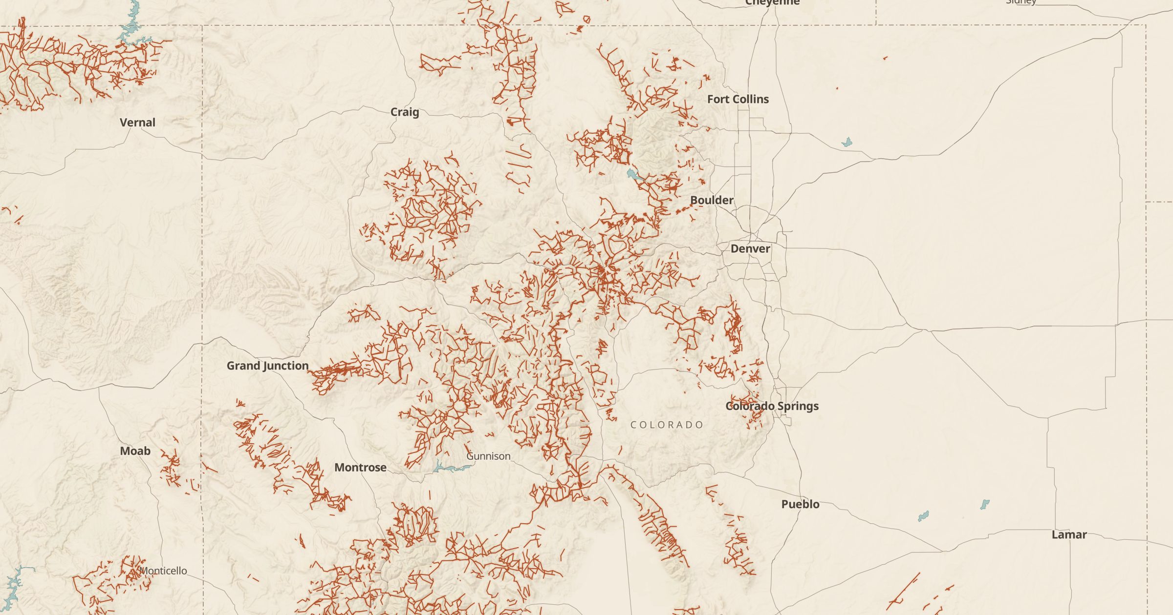 Explore this map →
- 44,278trail segments
- USFSsource
- Public domainlicense
- 98layers to stack it with
About this layer
National forests contain one of the largest trail networks in the country. This layer maps more than 44,000 National Forest System trails from the USDA Forest Service, with details on trail class, surface, grade and allowed uses. That last part matters: you can see whether a trail is open to hikers only, or also to mountain bikes, horses or motorcycles.
Use it to find a hiking or biking loop near a campground, check whether a trail enters a wilderness area, or explore lesser-known forests near home. Combine it with USFS Trailheads for parking, Wilderness Areas for boundaries and 3D terrain for a sense of the climb. Open a trail to see its attributes from the Forest Service.