

Hot Springs Map of the US
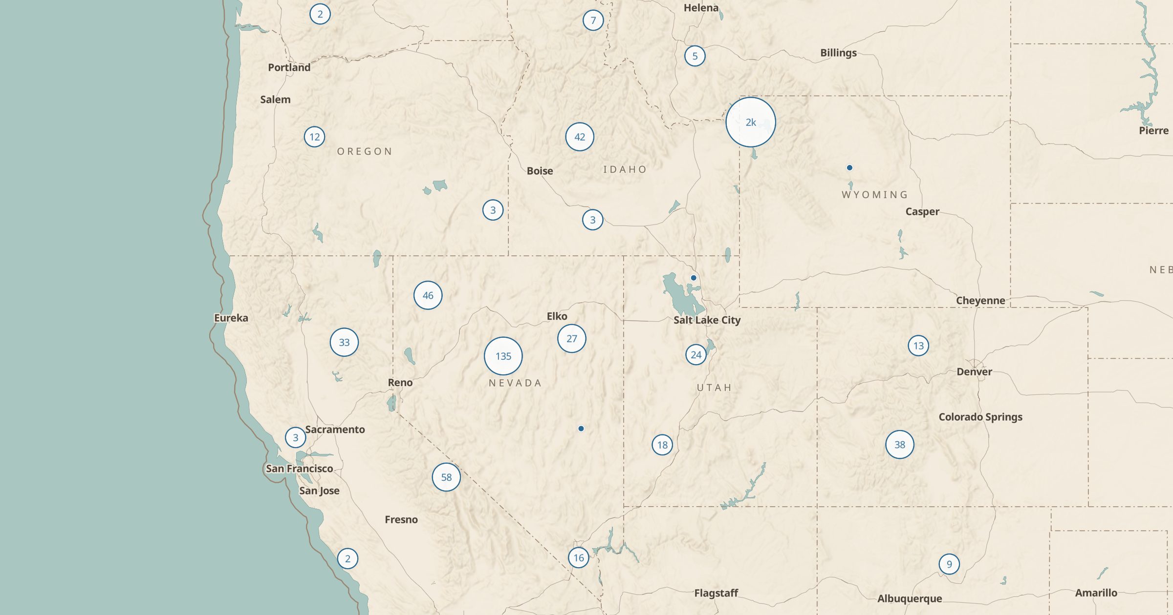
Find natural hot springs mapped in OpenStreetMap across the US. Plan soaks in Idaho, Oregon, Nevada, California and beyond.
 Explore this map →
- 2,546hot springs
- OpenStreetMapsource
- ODbL 1.0license
- 98layers to stack it with
About this layer
Natural hot springs are a classic road trip goal, especially in the West. This layer maps 2,546 hot springs recorded in OpenStreetMap across the US, with named springs shown where available. OpenStreetMap is built by volunteers, so coverage is patchy: some springs are missing, and some mapped ones are on private land or closed.
Treat the layer as a starting point and check access before you go. Idaho, Oregon, Nevada and California have dense clusters. Combine hot springs with Dispersed Camping and Forest Service campgrounds to find a place to stay nearby, and with Land Ownership to see whether a spring sits on public land. Data is © OpenStreetMap contributors under the ODbL.