

Abandoned Mines Map (USGS MRDS)
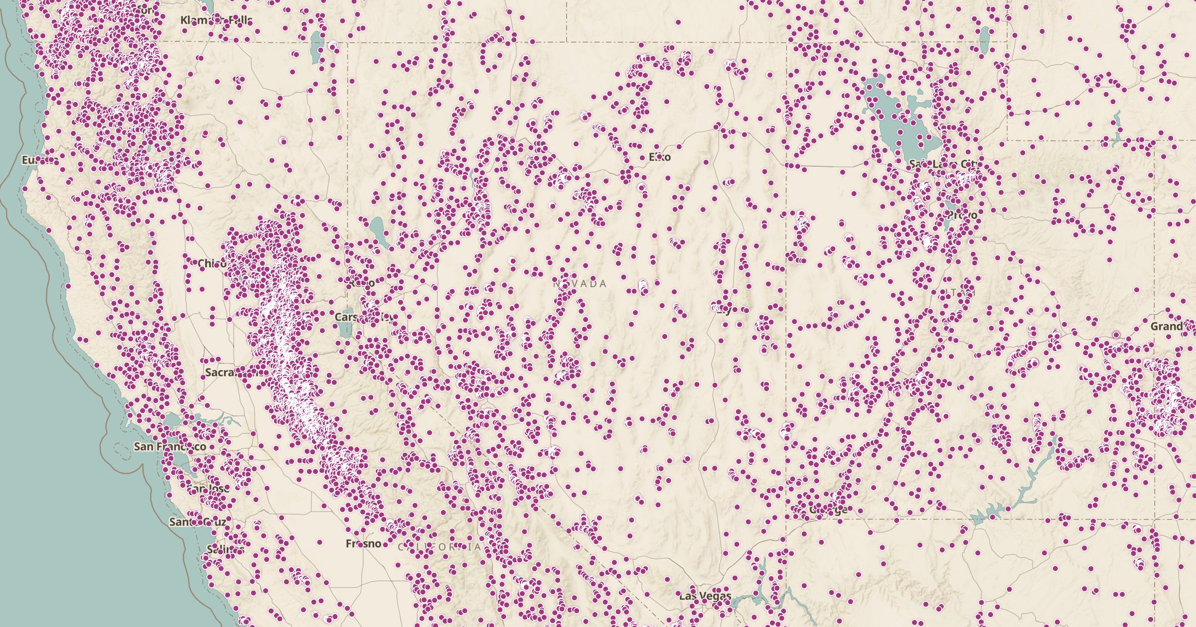
Map more than 300,000 historic mines, prospects and mineral occurrences from the USGS Mineral Resources Data System.
 Explore this map →
- 304,613mineral sites
- 128,816past producers
- 35,584prospects
- ~266,600in the US
About this layer
The USGS Mineral Resources Data System, known as MRDS, is a long-running database of mines, prospects and mineral occurrences. This layer maps more than 300,000 of its records, from large historic mines to small prospect pits. The database is no longer actively updated, so treat it as a historical record rather than a list of active operations.
Zoom out over Nevada or Colorado and the density is striking; the West is covered in old digs. The layer is useful for history buffs, rockhounds and anyone researching an old mining district. Do not enter abandoned mines: shafts and old workings are dangerous. Pair it with Land Ownership to see who manages the land and with 3D terrain to explore mining country.