

Public Land Ownership Map: BLM, USFS, NPS
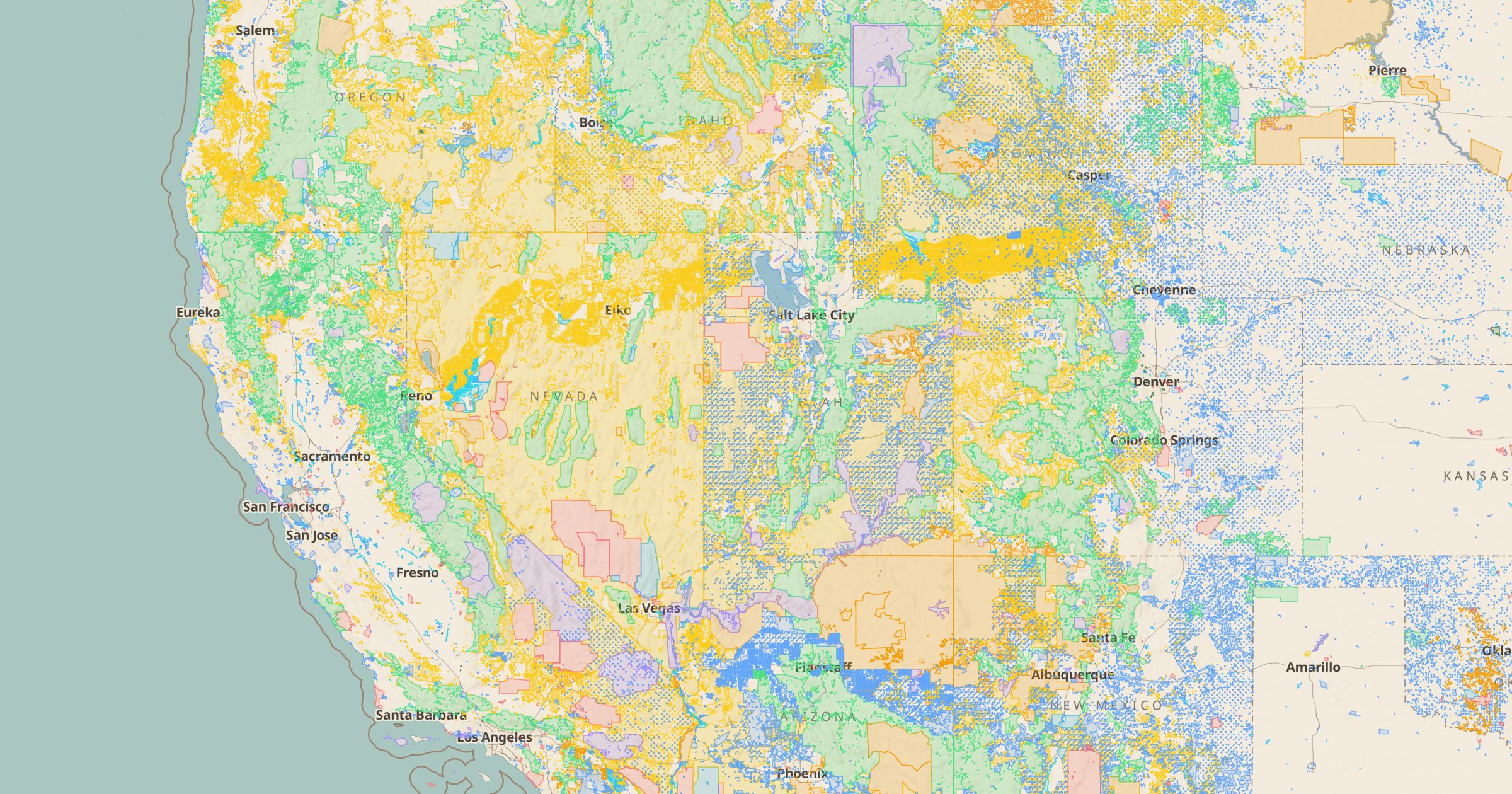
See who manages the land: BLM, Forest Service, National Park Service, Fish & Wildlife, military, tribal and state land, mapped across the US.
 Explore this map →
- 1,011land areas
- BLMsource
- Public domainlicense
- 98layers to stack it with
About this layer
Whether you can camp, hike, hunt or drive somewhere often depends on who manages the land. This layer shows surface management across the US from the BLM National Surface Management Agency dataset: Bureau of Land Management, Forest Service, National Park Service, Fish and Wildlife Service, military, tribal and state land. Private and unknown land is left clear, so public land stands out.
The result explains a lot about the West, where federal land forms a patchwork across whole states. Use it to check whether a dispersed campsite is on public ground, to plan hunting or rockhounding trips, or simply to see how much of a state belongs to the public. It pairs well with Dispersed Camping and the Motor Vehicle Use Map.