

Former Military Sites Map (FUDS)
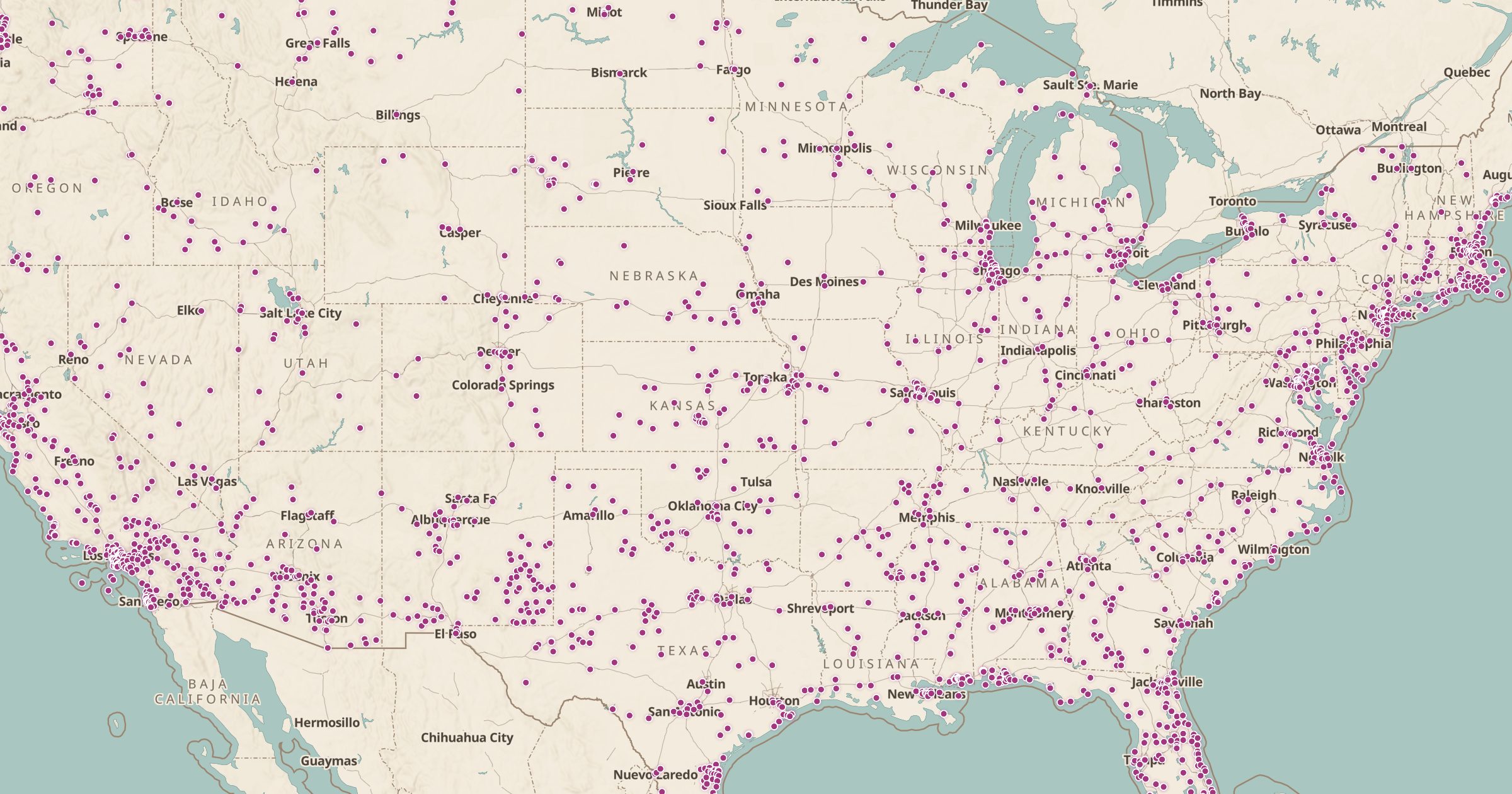
Map Formerly Used Defense Sites: places across the US once used by the military, from Army Corps of Engineers FUDS data. Some may still have hazards.
 Explore this map →
- 8,837properties
- USACEsource
- Public domainlicense
- 98layers to stack it with
About this layer
Across the US, thousands of properties were once used by the military for training camps, airfields, depots and bombing ranges, then returned to other owners. The Army Corps of Engineers tracks them as Formerly Used Defense Sites, or FUDS, and manages cleanup where it is needed. This layer maps 8,837 FUDS property locations from the USACE FY2024 FUDS data.
It is a fascinating look at hidden military history: you may find a former training range or airfield near your home. Some sites still carry hazards such as unexploded ordnance or contamination, so do not dig or disturb anything. Pair this layer with FUDS Munitions Response Sites to see where ordnance concerns exist.