

BLM National Monuments & NCAs Map
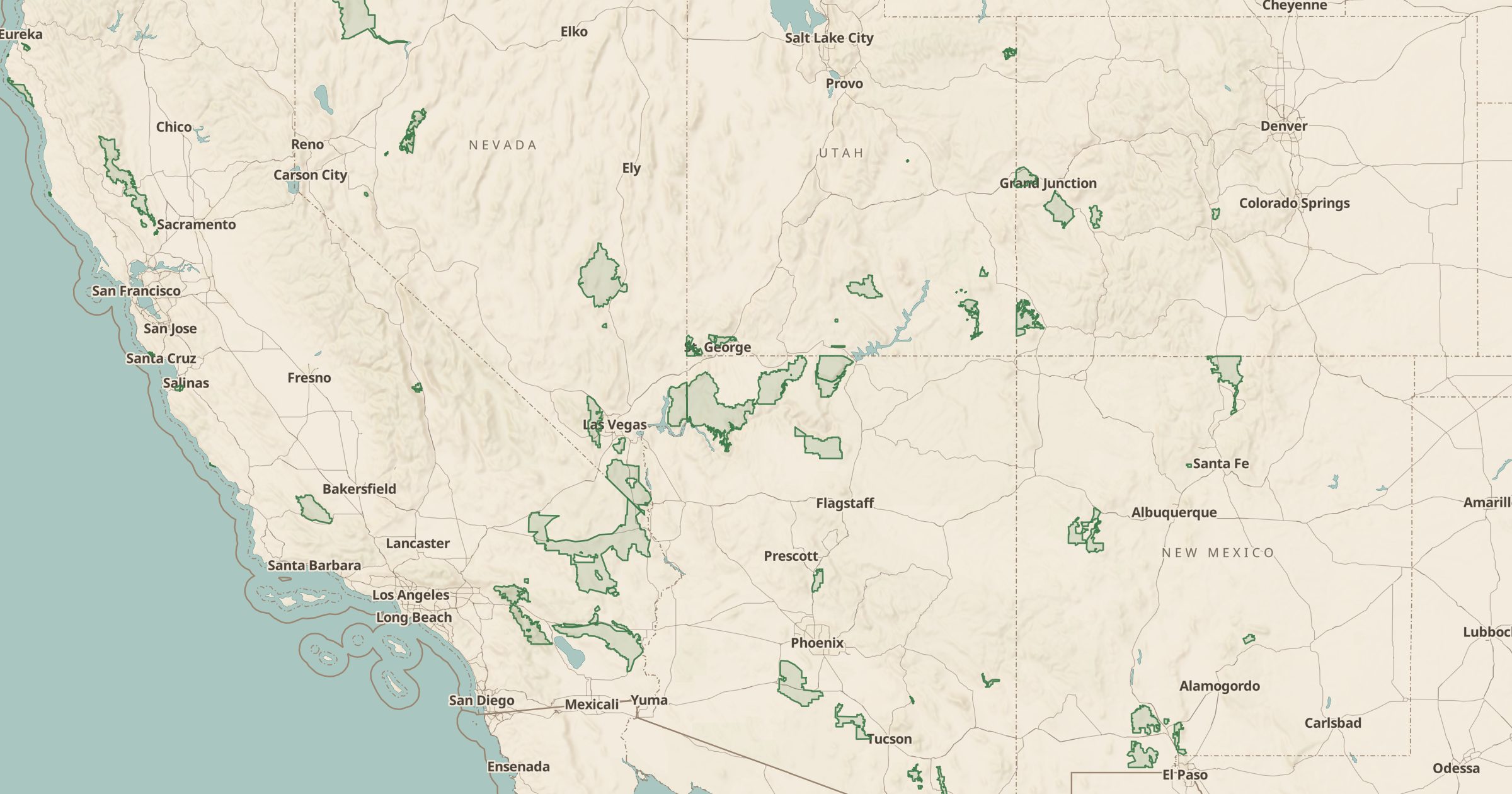
Map BLM National Monuments, National Conservation Areas and other National Conservation Lands units, some of the West's least crowded protected land.
 Explore this map →
- 57conservation units
- BLMsource
- Public domainlicense
- 98layers to stack it with
About this layer
Not every national monument belongs to the National Park Service. The BLM manages its own national monuments and National Conservation Areas as part of the National Landscape Conservation System, also called National Conservation Lands. This layer maps 57 of those units from BLM data.
They include large, remote landscapes with canyons, rock art, desert and river corridors, and they usually see far fewer visitors than nearby national parks. Use the layer to find a quieter alternative to a crowded park, then add BLM Campgrounds and Dispersed Camping to find places to stay. Land Ownership and 3D terrain help you understand the ground before you go.