

Fossil Sites Map of the US (PBDB)
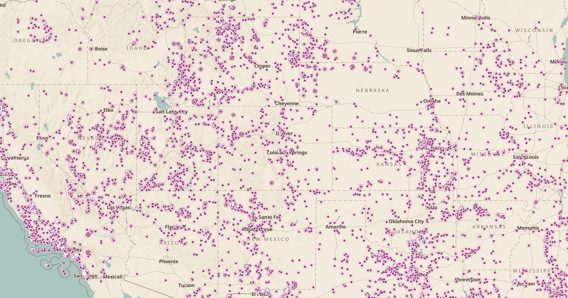
Map 62,000+ US fossil collection localities from the Paleobiology Database, from dinosaurs to marine fossils. Explore the paleontology of your state.
 Explore this map →
- 62,286fossil collections
- PBDBsource
- CC BY 4.0license
- 98layers to stack it with
About this layer
The Paleobiology Database is a research database where paleontologists record fossil collections and the species found in them. This layer maps 62,286 fossil collection localities in the US from the PBDB, shared under CC BY 4.0. The map shows where scientists have documented fossils, from dinosaur beds in Wyoming and Montana to marine fossils across the Midwest.
It is a good tool for teachers, students and anyone who wants to understand the deep history of a place. Many localities are on private land or protected public land where collecting is restricted, so check the rules before you search. Pair the layer with Land Ownership and 3D terrain to explore fossil country.