

Ghost Towns Map of the US
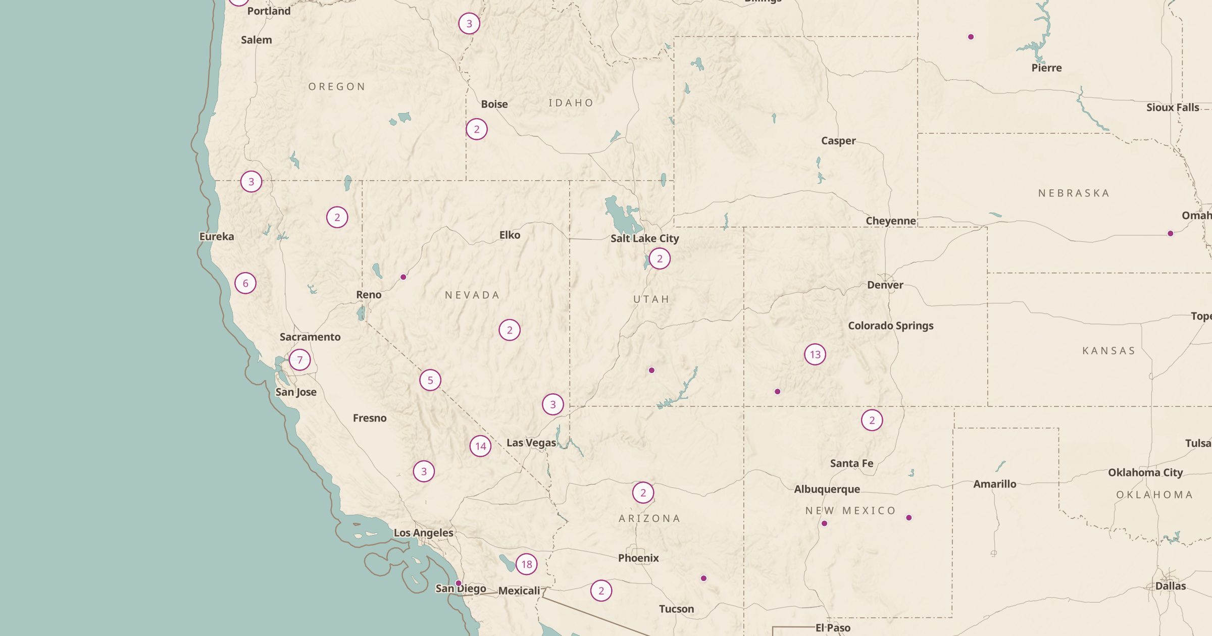
Map abandoned settlements and ghost towns recorded in OpenStreetMap across the US. Explore Old West mining towns and forgotten places.
 Explore this map →
- 186ghost towns
- OpenStreetMapsource
- ODbL 1.0license
- 98layers to stack it with
About this layer
Ghost towns tell the story of boom and bust: mining camps, railroad stops and farm towns that emptied out. This layer maps 186 abandoned settlements recorded in OpenStreetMap, with data © OpenStreetMap contributors under the ODbL. Coverage is sparse, so many known ghost towns are missing, but the mapped ones are a good starting point.
Turn on Mines and Prospects at the same time to see how many western ghost towns grew up around mining districts, then add Abandoned Rail Lines for the railroads that once served them. Some sites are on private land or are fragile historic structures, so respect closures and leave everything as you found it.