

PLSS Township & Range Map
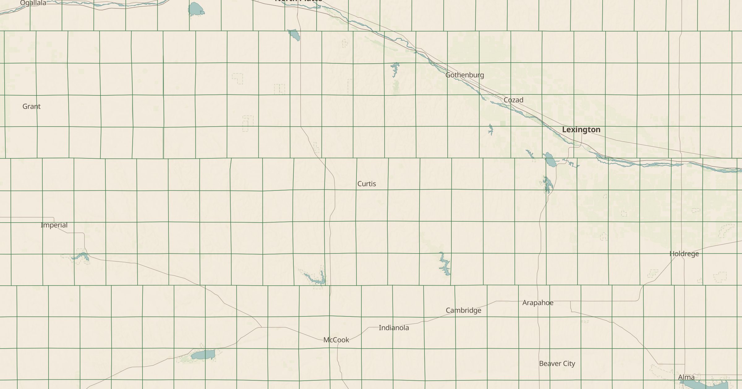
See the Public Land Survey System township grid with township and range labels. Useful for land records, legal descriptions and history.
 Explore this map →
- 85,984townships
- BLMsource
- Public domainlicense
- 98layers to stack it with
About this layer
Fly over the Midwest and the farmland looks like graph paper. That grid comes from the Public Land Survey System, which the Land Ordinance of 1785 set up to divide western land into six-mile townships for sale and settlement. This layer maps more than 85,000 PLSS townships from the BLM Public Land Survey System data, labeled with township and range.
It is practical for anyone reading deeds, mineral claims, well records or old maps, which often describe locations by township and range instead of coordinates. It is also a way to see history on the ground: turn it on with satellite imagery and watch roads and field edges follow the survey lines across whole states.