

NOAA Tide Stations Map: Tide Predictions
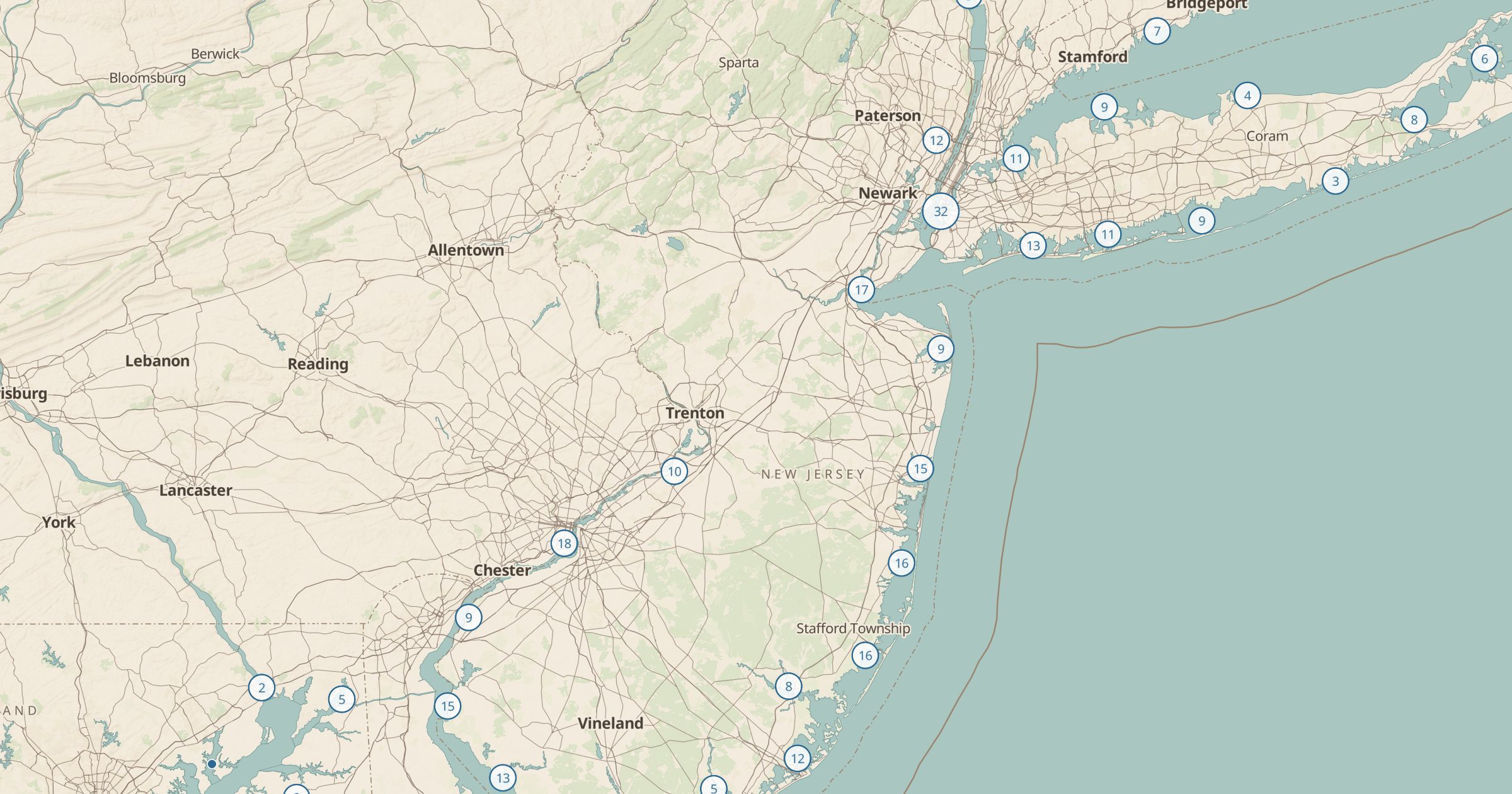
Find NOAA tide prediction stations along US coasts and open a station for a link to NOAA's tide predictions. Plan beach walks and fishing.
 Explore this map →
- 3,502stations
- NOAAsource
- Public domainlicense
- 98layers to stack it with
About this layer
Tides control when you can walk a beach, explore tide pools, launch a boat or fish a channel. This layer maps 3,502 tide prediction stations from NOAA Tides and Currents. Open any station for a link to NOAA's tide predictions for that spot, so you can check high and low times for the day you plan to visit.
It is useful for tide pooling on the Pacific coast, planning a kayak trip with the current, or timing a beach hike around headlands that flood at high tide. Add Shipwrecks for coastal history, Lighthouses for things to see, and Boat Ramps for water access. The station network also shows how carefully the coastline is measured.