

SNOTEL Snow Stations Map: Western Snowpack
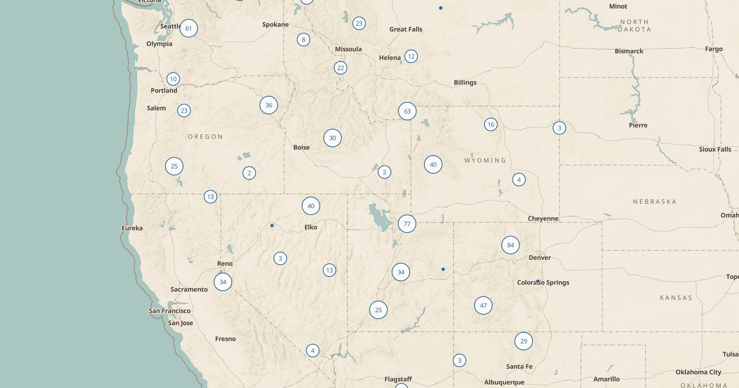
Map NRCS SNOTEL snowpack and weather stations across the western US. See where snow depth and water content are measured.
 Explore this map →
- 919stations
- NRCSsource
- Public domainlicense
- 98layers to stack it with
About this layer
SNOTEL is a network of automated stations that measure snowpack, precipitation and temperature in the mountains of the western US. The Natural Resources Conservation Service runs it, and water managers, skiers and backcountry travelers use its readings. This layer maps 919 SNOTEL stations from USDA NRCS data.
The station locations show where snow is actually measured, which helps you judge how relevant a reading is to the slope or trail you care about. Use it in spring to check whether a high trail might still be snowed in, in winter to follow snowpack near ski areas, or alongside Ski Areas and 3D terrain to understand mountain snow across a range.