

National Scenic Trails Map: AT, PCT, CDT
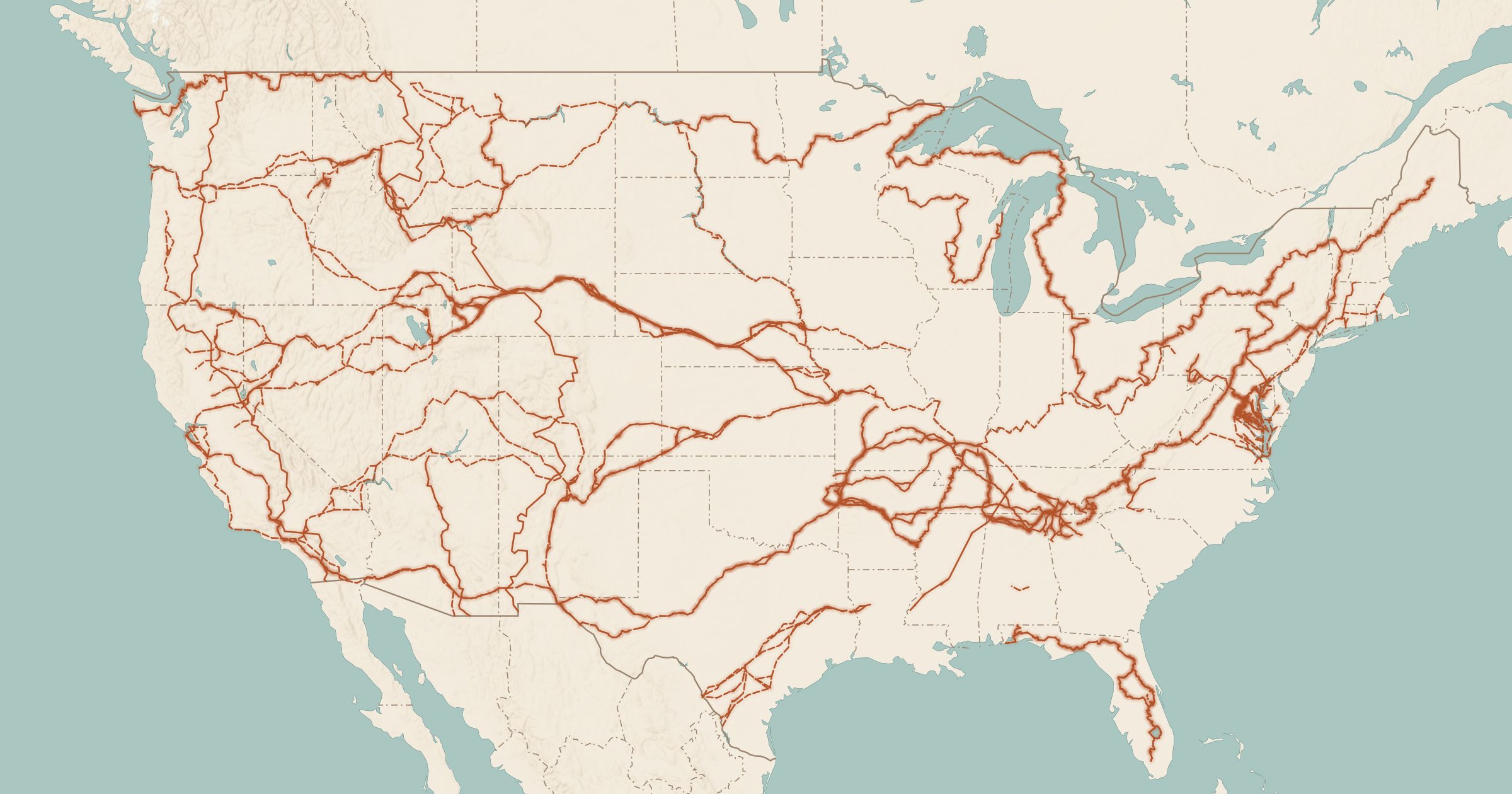
Map the Appalachian Trail, Pacific Crest Trail, Continental Divide Trail and every National Scenic and Historic Trail on one interactive map.
 Explore this map →
- 32trails
- NPSsource
- Public domainlicense
- 98layers to stack it with
About this layer
The National Trails System includes the famous long-distance footpaths and a set of historic routes that trace how people crossed the country. This layer maps all 32 National Scenic and Historic Trails, including the Appalachian Trail, Pacific Crest Trail and Continental Divide Trail, along with historic routes like the Oregon, Santa Fe and Lewis and Clark trails, shown dashed.
The lines come from the National Park Service and partner agencies and trail organizations. Use it to find where a section of the AT or PCT crosses a road for a day hike, or to follow a historic trail by car. Add campgrounds, Drinking Water and Backcountry Sites to plan a section hike.