

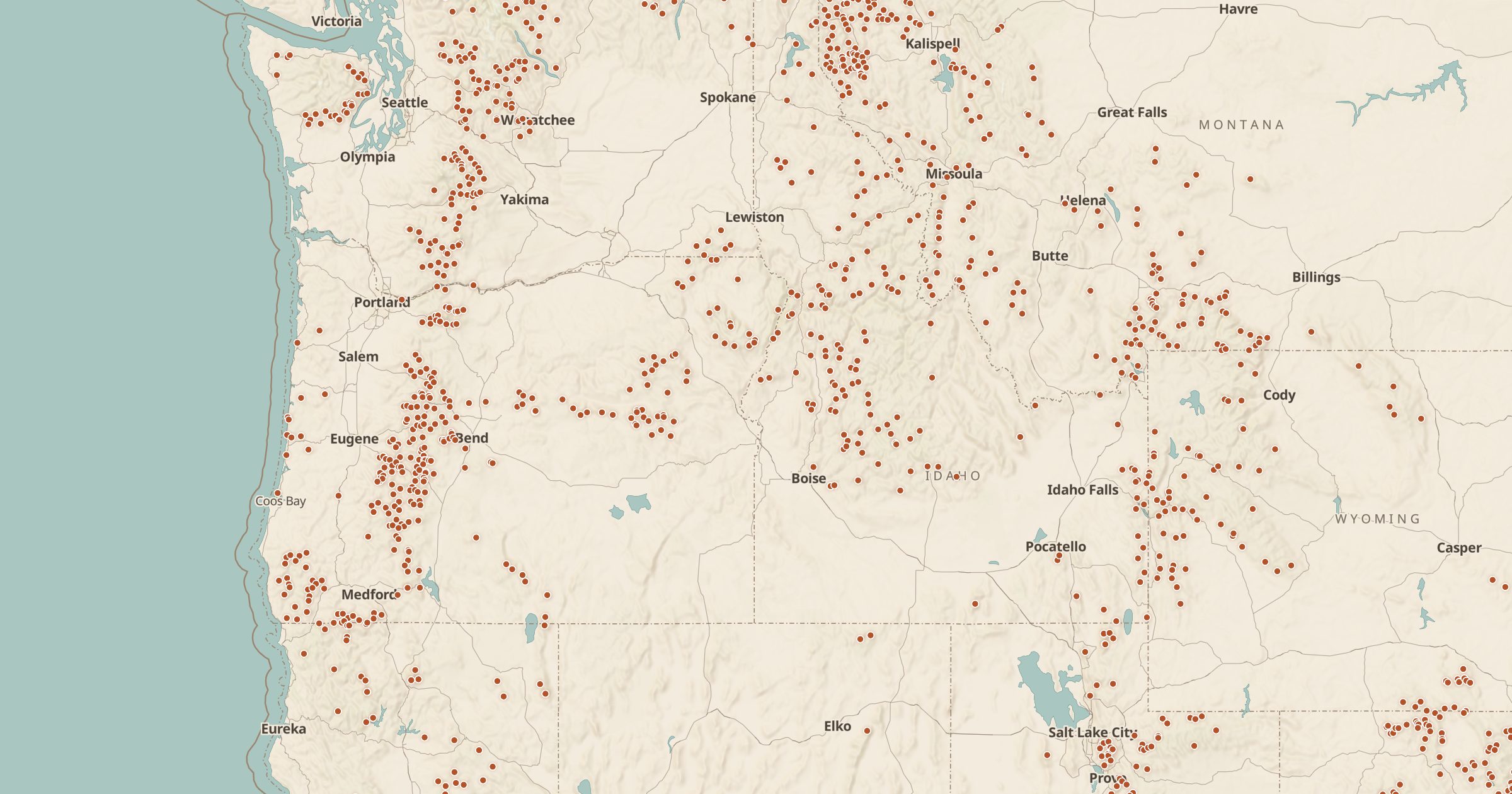
Forest Service Trailheads Map
Find Forest Service trailheads across national forests, with fee and parking capacity information from USDA Forest Service data.
 Explore this map →
- 7,369trailheads
- USFSsource
- Public domainlicense
- 98layers to stack it with
About this layer
A trail is only useful if you know where to start. This layer maps more than 7,300 Forest Service trailheads from USDA Forest Service Recreation Sites data, including fee information and parking capacity where the agency lists them. Knowing whether a trailhead has a fee or a small lot helps you avoid surprises, especially at popular spots on summer weekends.
Combine trailheads with Forest Service Trails to see where each route goes, with Toilets for facilities, and with the Motor Vehicle Use Map to check the road in. It is a simple layer, but it turns a trail map into a trip plan: where to park, what it costs and how to get there.