

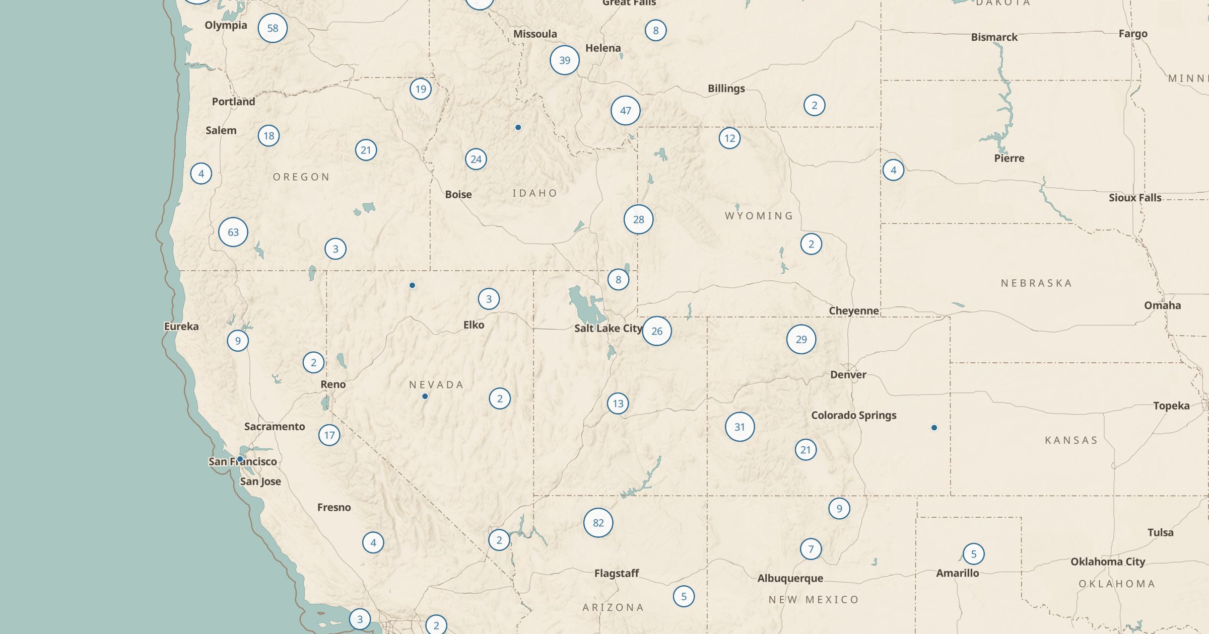
Backcountry Campsites & Shelters Map
Map designated backcountry campsites, trail shelters, huts, rental cabins and fire lookouts on National Park, BLM and Forest Service land.
 Explore this map →
- 1,507sites
- NPS · BLM · USFSsource
- Public domainlicense
- 98layers to stack it with
About this layer
Backpackers need to know where they are allowed to sleep. This layer maps 1,507 designated backcountry campsites, trail shelters, huts, rental cabins and fire lookouts on National Park Service, BLM and Forest Service land. The points come from NPS Points of Interest, BLM Recreation Sites and USFS Recreation Sites.
Many parks require you to camp at designated sites with a permit, so seeing them on a map with the trail network makes route planning much easier. Turn on National Park Trails or Forest Service Trails, then use the route tool to plan daily mileage between sites. Rental cabins and fire lookouts are worth a look too; some can be booked for a night and make a memorable trip.