

Motor Vehicle Use Map (MVUM) Forest Roads
See which Forest Service roads and trails are legally open to motor vehicles, by vehicle class and season. MVUM data for overlanding and camping.
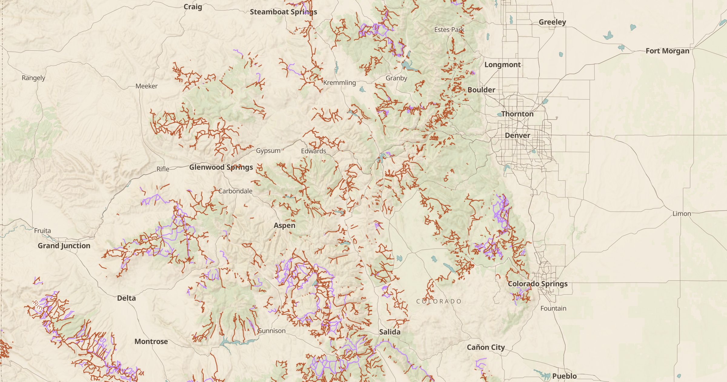 Explore this map →
- 140,648road and trail segments
- USFSsource
- Public domainlicense
- 98layers to stack it with
About this layer
In national forests, driving is only allowed on roads and trails shown on the official Motor Vehicle Use Map, known as the MVUM. This layer maps more than 140,000 of those road and trail segments from USDA Forest Service MVUM data, with the vehicle classes allowed on each and any seasonal open dates.
Instead of downloading a separate PDF for every ranger district, you can see the whole network on one map. It is the key layer for overlanding, off-highway vehicle trips and reaching dispersed campsites legally. Pair it with Dispersed Camping and Land Ownership, and switch to 3D terrain to judge how rough a road might be. Always confirm current conditions with the local ranger district.