

Public Lands Restrooms & Toilets Map
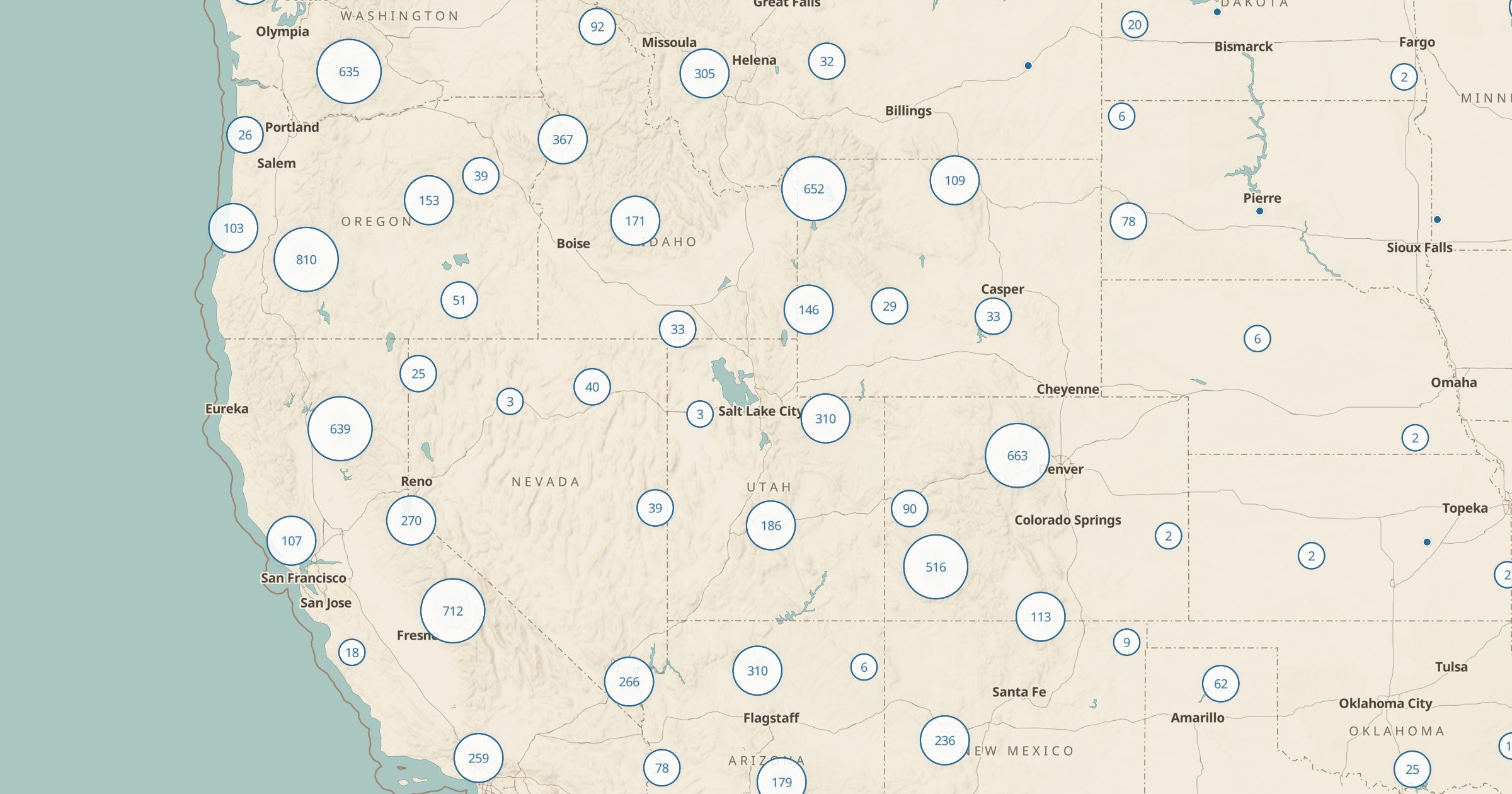
Find vault, pit, flush and portable toilets at National Park, BLM and Forest Service recreation sites. A practical map for road trips and camping.
 Explore this map →
- 12,893restrooms
- NPS · BLM · USFSsource
- Public domainlicense
- 98layers to stack it with
About this layer
On a long drive through public land, the nearest toilet can be an hour away. This layer maps 12,893 toilets at federal recreation sites: vault, pit, flush and portable toilets from NPS Points of Interest, BLM Recreation Sites and USFS Recreation Sites. It covers public lands only, so it will not show city restrooms or gas stations.
That is the point: it fills in the remote areas where other maps go blank. Combine it with Dispersed Camping to find facilities near a free campsite, or with Scenic Byways to plan stops on a backroad drive. Families, RV travelers and anyone hiking a busy trailhead will find it handy, and it pairs naturally with the Drinking Water layer.