

Drinking Water & Springs Map: Public Lands
Find potable taps, hand pumps, wells and springs at National Park, BLM and Forest Service sites. Know where to refill on your trip.
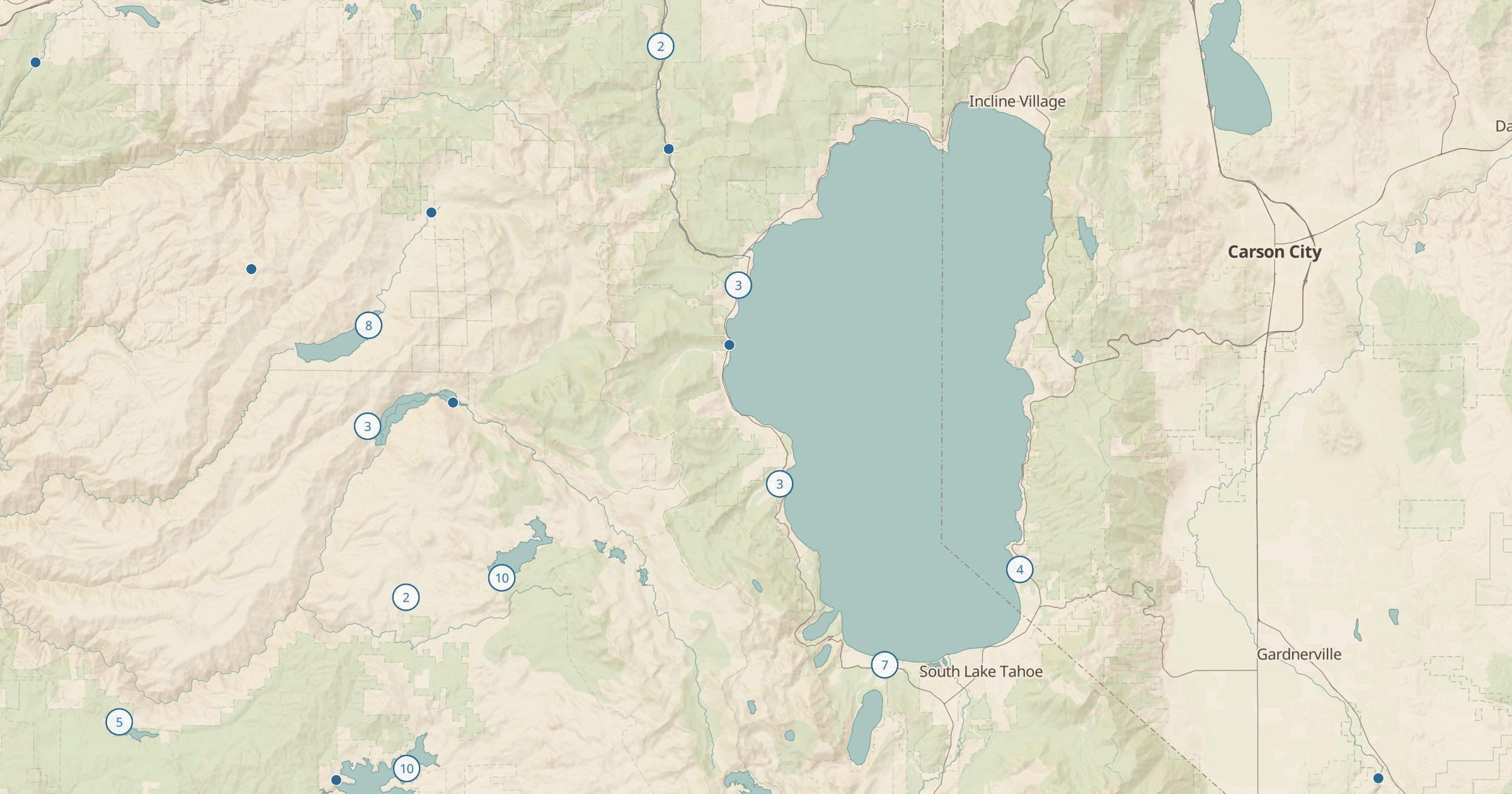 Explore this map →
- 3,938water sources
- NPS · BLM · USFSsource
- Public domainlicense
- 98layers to stack it with
About this layer
Water is the first thing to plan in dry country. This layer maps 3,938 water sources at federal sites: potable taps, hand pumps, wells and springs from NPS Points of Interest, BLM Recreation Sites and USFS Recreation Sites. Some Forest Service entries are marked as natural sources, which means you should filter or treat the water before drinking.
Use the layer to plan refill points on a desert road trip, a bikepacking route or a multi-day hike, and pair it with Dispersed Camping, where water is never provided. Seasonal taps may be shut off in winter, so check with the managing agency before relying on a single source. Ranger Stations on the same map show who to call.