

National Forest Recreation Sites Map
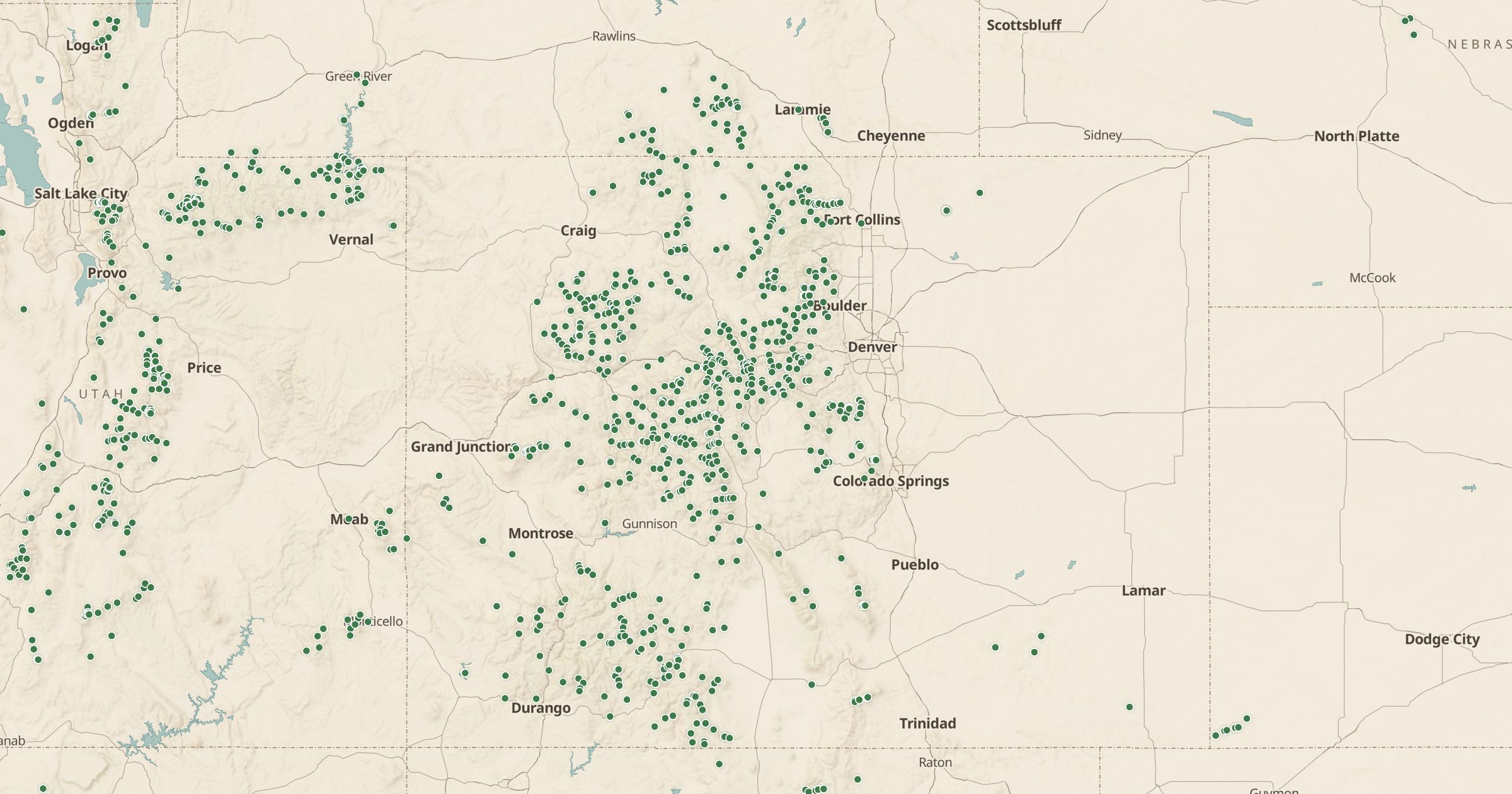
Map Forest Service recreation sites with fees, seasons and open status from fs.usda.gov: picnic areas, day-use sites, campgrounds and more.
 Explore this map →
- 14,166recreation sites
- USFSsource
- Public domainlicense
- 98layers to stack it with
About this layer
Every national forest has a website listing its recreation sites, but browsing them forest by forest is slow. This layer maps more than 14,000 Forest Service recreation sites from the USDA Forest Service Recreation Opportunities data behind the public fs.usda.gov pages. Entries include details such as fees, operating season and open or closed status where the Forest Service publishes them.
That covers picnic areas, day-use sites, boating sites, interpretive sites and more, not only campgrounds. Zoom in on dense forests to see everything. Use it to find a picnic spot, check if a site is open this season, or explore what a forest offers before a weekend trip.