

Water & camping
RV Dump Stations Map: Sanitary Dump Sites
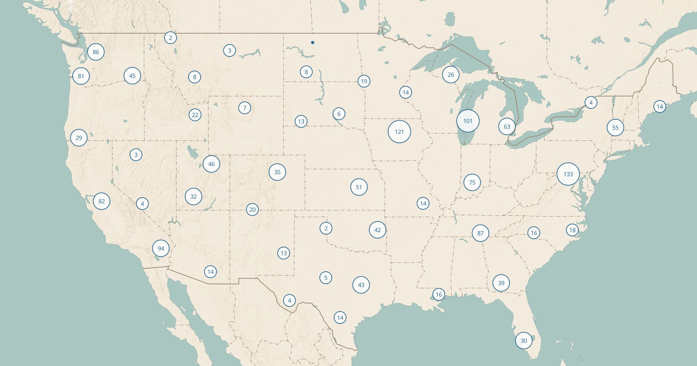
Map 1,689 RV sanitary dump stations across the US from OpenStreetMap. Plan dump and refill stops for RV and van trips.
 Explore this map →
- 1,689dump stations
- OpenStreetMapsource
- ODbL 1.0license
- 98layers to stack it with
About this layer
For RV and van travelers, knowing where to empty tanks is as important as knowing where to camp. This layer maps 1,689 RV sanitary dump stations in the US recorded in OpenStreetMap, with data © OpenStreetMap contributors under the ODbL. Use it to plan dump stops on a long trip, especially when you are boondocking on public land for several days.
Pair it with Dispersed Camping and BLM Campgrounds for places to stay, and with Drinking Water and Springs for refill points. Coverage is partial and some stations charge a fee or are for customers only, so have a backup plan. Saved maps let you keep your planned stops in one place.