

Ranger Stations & Visitor Centers Map
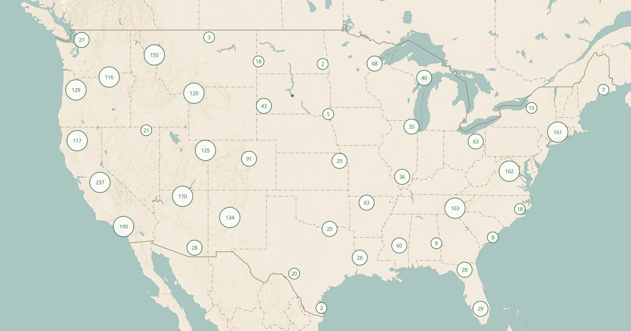
Map National Park and BLM visitor centers, ranger stations and Forest Service district offices: where to get permits, maps and local advice.
 Explore this map →
- 2,937stations and centers
- NPS · BLM · USFSsource
- Public domainlicense
- 98layers to stack it with
About this layer
Ranger stations and visitor centers are where you pick up permits, ask about road and trail conditions, and get advice you will not find online. This layer maps 2,937 of them: National Park Service and BLM visitor centers and ranger stations, plus Forest Service district offices and visitor centers.
Data comes from NPS Points of Interest, BLM Recreation Sites and USFS offices and recreation sites. Use it before a backcountry trip to find where to pick up a wilderness permit, or on the road to find the nearest place to ask about fire restrictions and closures. Paired with Wilderness Areas and Backcountry Sites, it shows both where you want to go and who manages it.