

Scenic Byways Map: All-American Roads
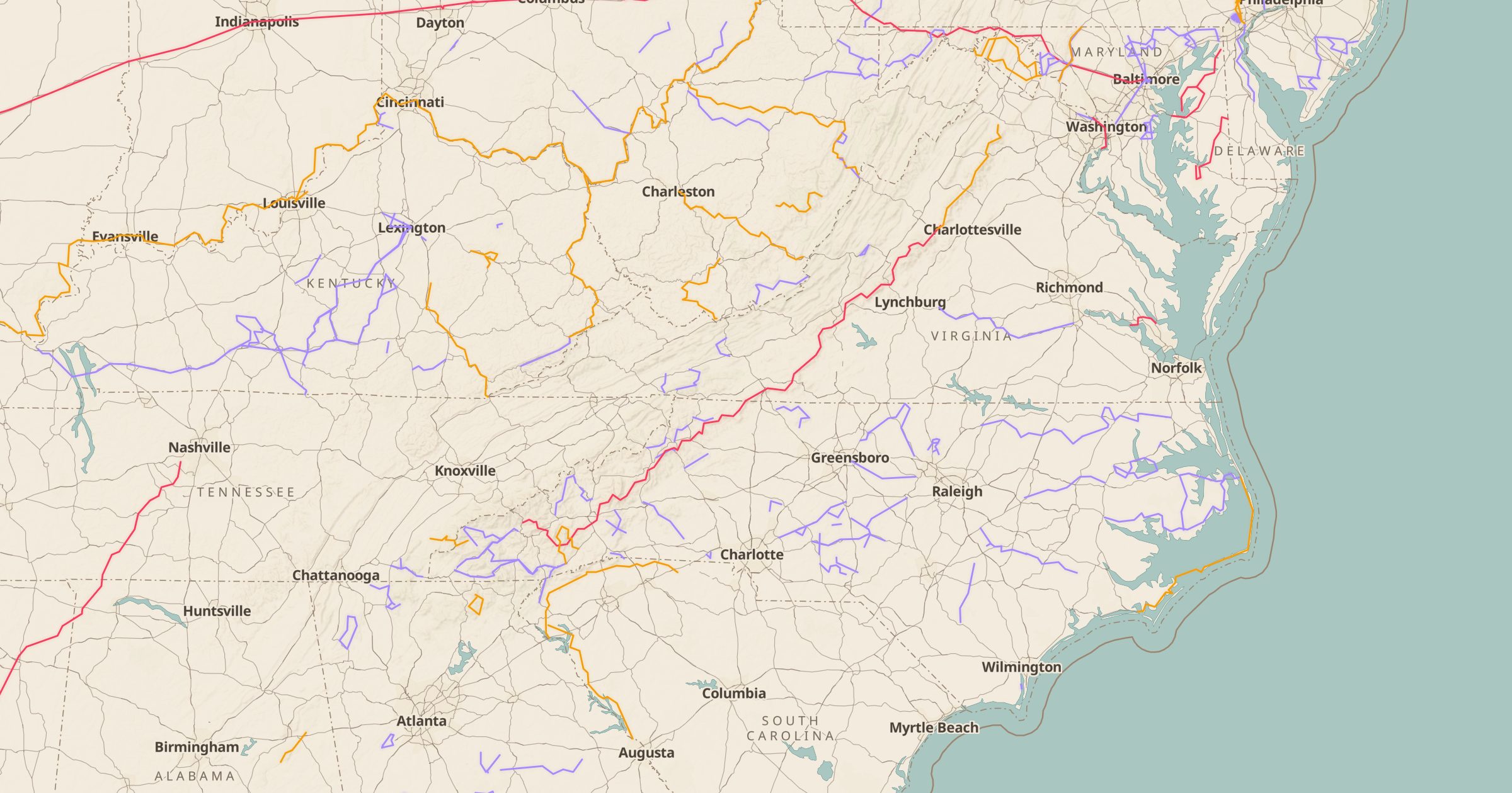
Map 645 scenic byways from FHWA America's Byways: All-American Roads, National Scenic Byways and state, Forest Service and BLM byways.
 Explore this map →
- 645byways
- 3designation types
- FHWAofficial source
- Public domainlicense
About this layer
Scenic byways are roads officially recognized for their scenery, history or culture. This layer maps 645 of them from the Federal Highway Administration's America's Byways data, including All-American Roads, National Scenic Byways, and state, Forest Service and BLM byways. You can filter by byway type to focus on the federally designated routes or see every state byway in a region.
It is a strong base for road trip planning: pick a state, such as North Carolina or Colorado, turn on byways, then add Viewpoints, campgrounds and Toilets to build stops along the drive. The route tool can plot a drive along a byway, and you can save the result as a map to share.