

Shipwreck Map of the US Coast
Map 41,941 shipwrecks, wreck areas and underwater obstructions in US waters, from NOAA charting data via HIFLD. Explore maritime history.
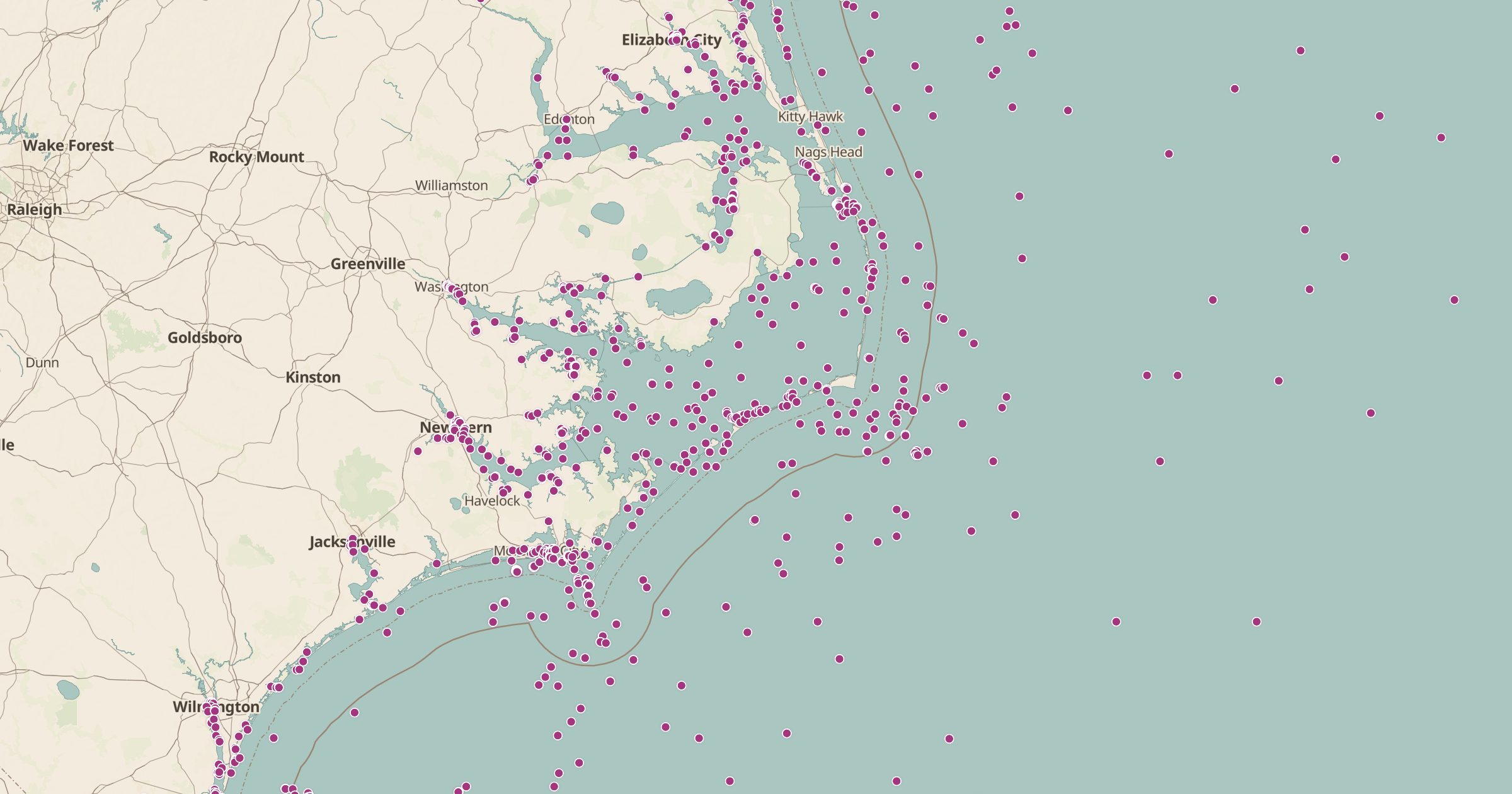 Explore this map →
- 41,941records
- ~31,000wrecks
- 9,815obstructions
- 949wreck areas
About this layer
The waters around the US hold tens of thousands of wrecks. This layer maps 41,941 shipwrecks, wreck areas and underwater obstructions from the HIFLD Wrecks and Obstructions dataset, which is drawn from NOAA nautical charting data and released as CC0. Mariners use these records to avoid hazards, but on a map they read like a history of shipping.
The Outer Banks of North Carolina, known as the Graveyard of the Atlantic, the Great Lakes and busy harbors stand out. Use the layer to plan a dive trip, research local maritime history, or pick a coastal stop with a story. Add Historic Lighthouses and NOAA Tide Stations to round out a coastal trip.