

National Park Service Map: All NPS Units
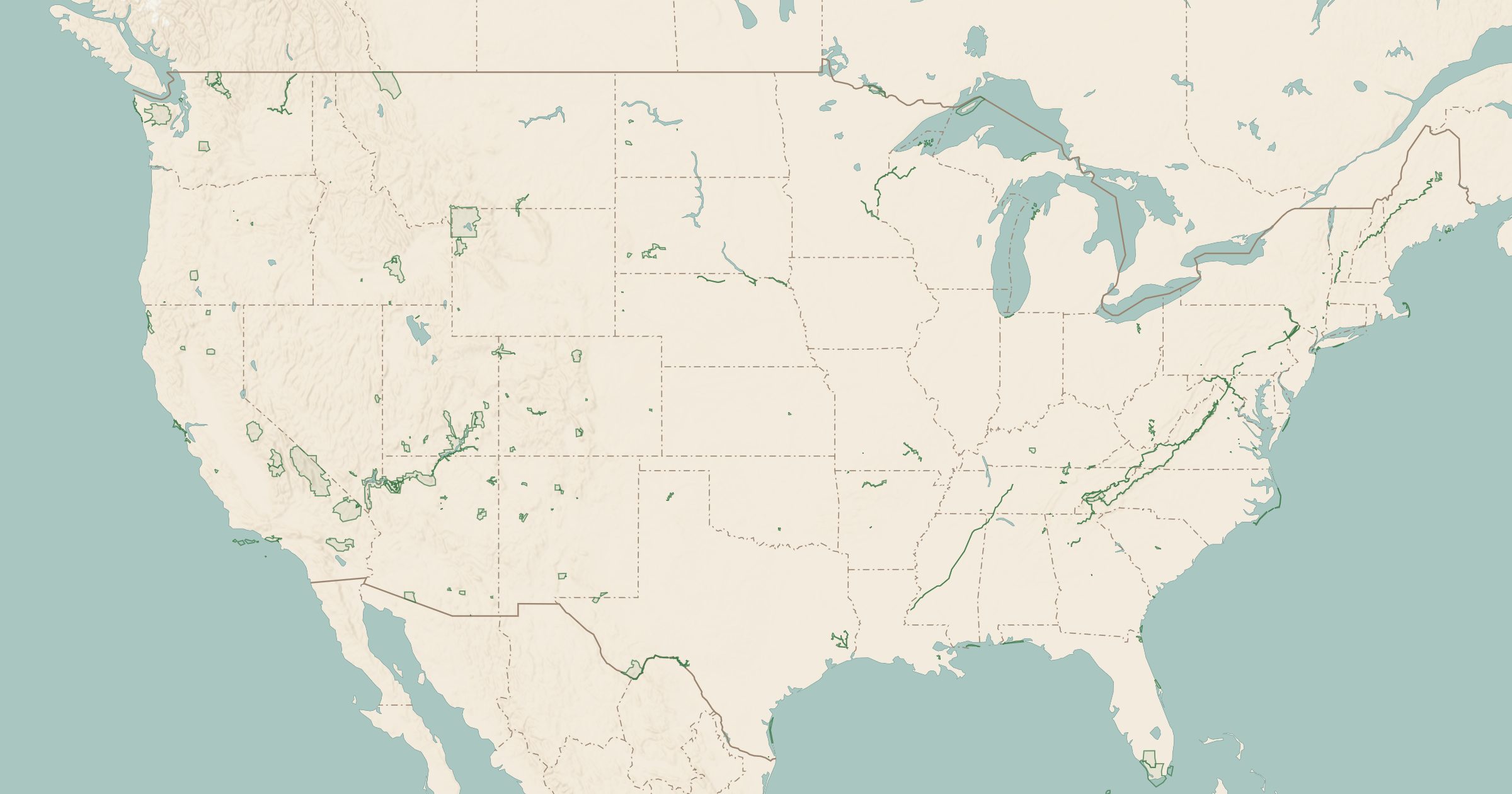
Map every National Park Service unit, from big parks to monuments, seashores and historic sites. Track the parks you've visited and plan your next one.
 Explore this map →
- 437park units
- 87national monuments
- 76national historic sites
- 64national historical parks
About this layer
The National Park Service manages far more than the famous national parks. This layer draws the boundaries of more than 400 NPS units: national monuments, historic sites, battlefields, seashores, lakeshores, recreation areas, parkways and preserves. The boundaries come from the National Park Service itself.
You can filter by unit type, and the layer is tied to your Visited list, so you can switch between all units, the ones you have been to, and the ones still left. That makes it a practical park checklist: open your state, see which small historic sites and monuments you have never heard of, and add them to a road trip. Turn on NPS campgrounds, park trails and viewpoints at the same time to see what each unit offers before you go.