

Curiosities
Historic Lighthouses Map of the US
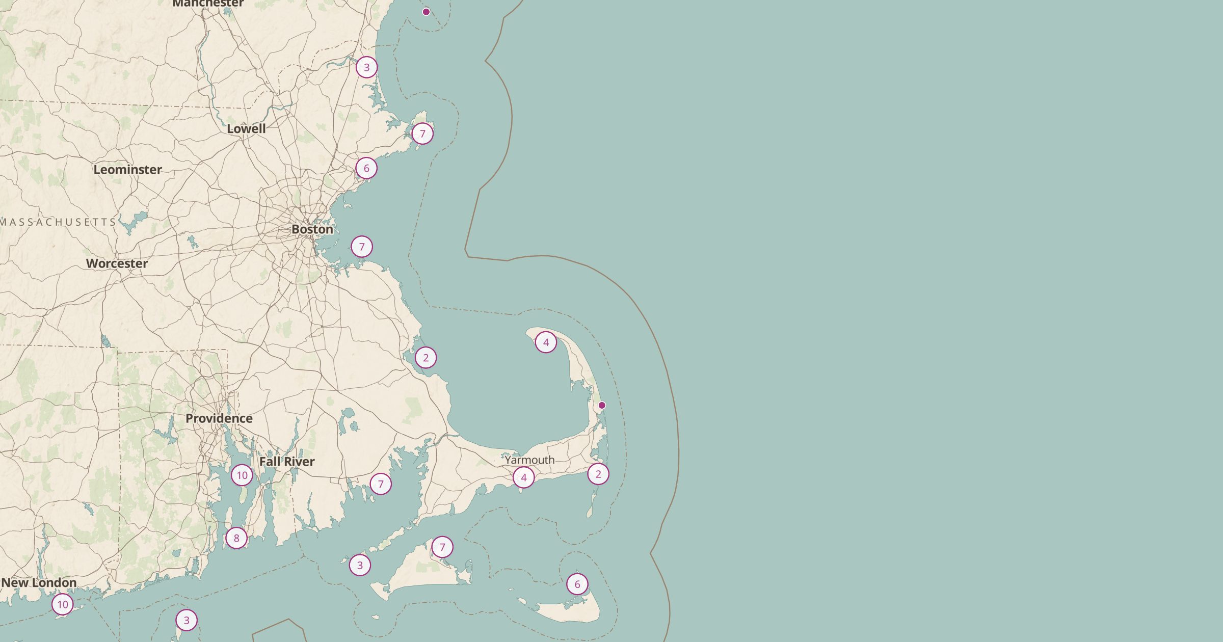
Map 489 historic US lighthouses from NOAA. Plan a lighthouse road trip along the Atlantic, Pacific, Gulf and Great Lakes coasts.
 Explore this map →
- 489lighthouses
- NOAAsource
- Public domainlicense
- 98layers to stack it with
About this layer
Lighthouses are some of the most visited historic structures on the coast. This layer maps 489 historic US lighthouses from NOAA's Historic Lighthouses data, along the Atlantic, Pacific and Gulf coasts and the Great Lakes. Many are open for tours or sit inside parks, while others are offshore and best seen from a boat or a beach.
Use the layer to plan a coastal road trip, such as the Outer Banks, Maine or Lake Michigan, and add Shipwrecks to see the hazards these lights were built to warn against. NOAA Tide Stations, Scenic Byways and Viewpoints help fill out the trip. It is also a great layer for photographers.