

National Park Roads & Scenic Drives Map
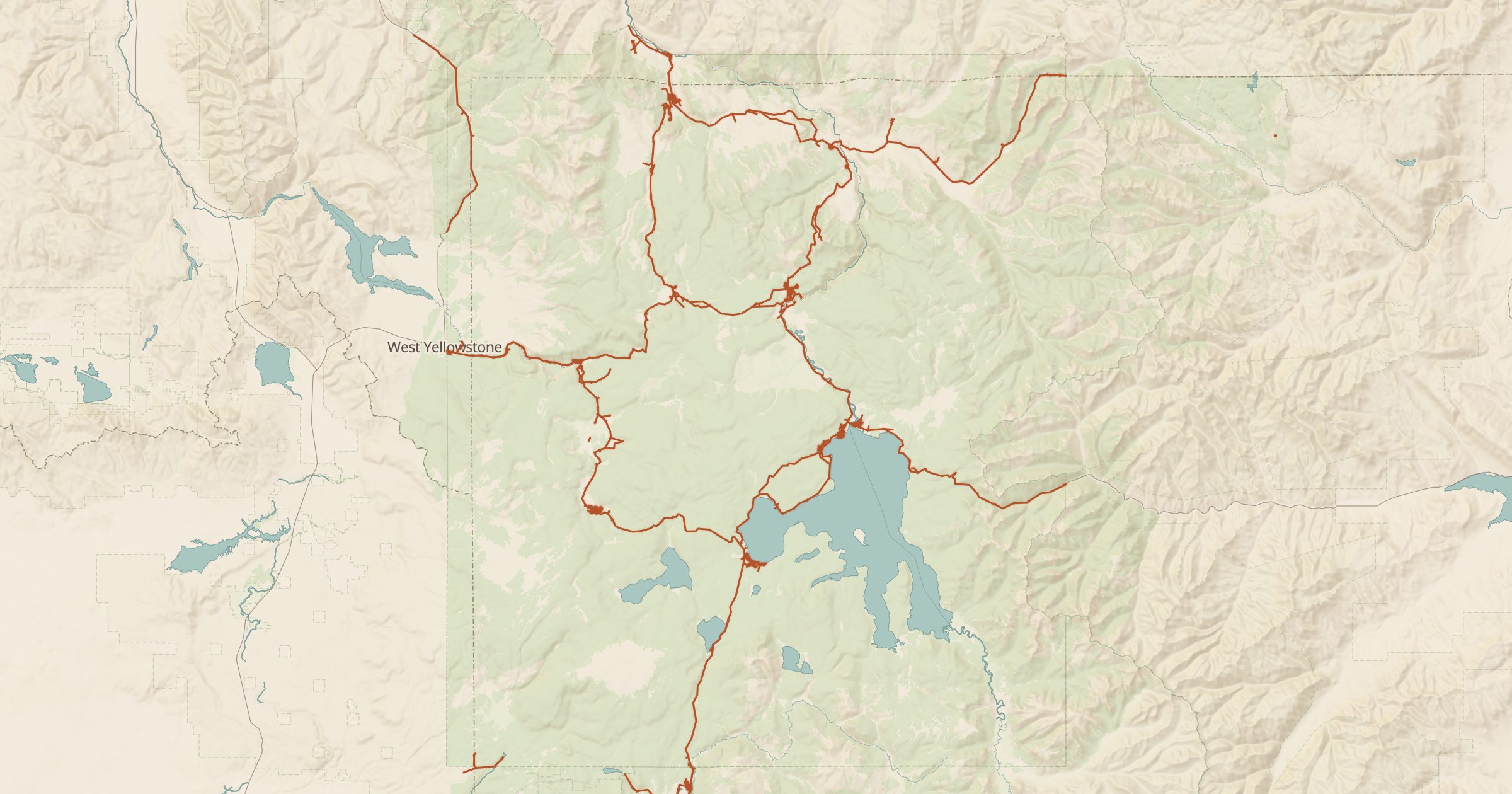
Map public roads inside national parks and other NPS units, from famous scenic drives to backroads, using National Park Service data.
 Explore this map →
- 12,976road segments
- NPSsource
- Public domainlicense
- 98layers to stack it with
About this layer
Many national park visits happen behind the windshield, on roads like park loops, canyon rims and mountain passes. This layer maps more than 12,000 public road segments inside National Park Service units, from National Park Service Public Roads data. It shows the full road network of a park, including smaller roads that general road maps simplify or leave out.
Zoom in to see denser areas. Use it to plan a scenic drive through a park, then add Viewpoints, Toilets and NPS Campgrounds to fill in the stops, or turn on 3D terrain to see how a road climbs through the landscape. It pairs naturally with Scenic Byways for drives that continue beyond the park boundary.