

National Park Campgrounds Map (NPS)
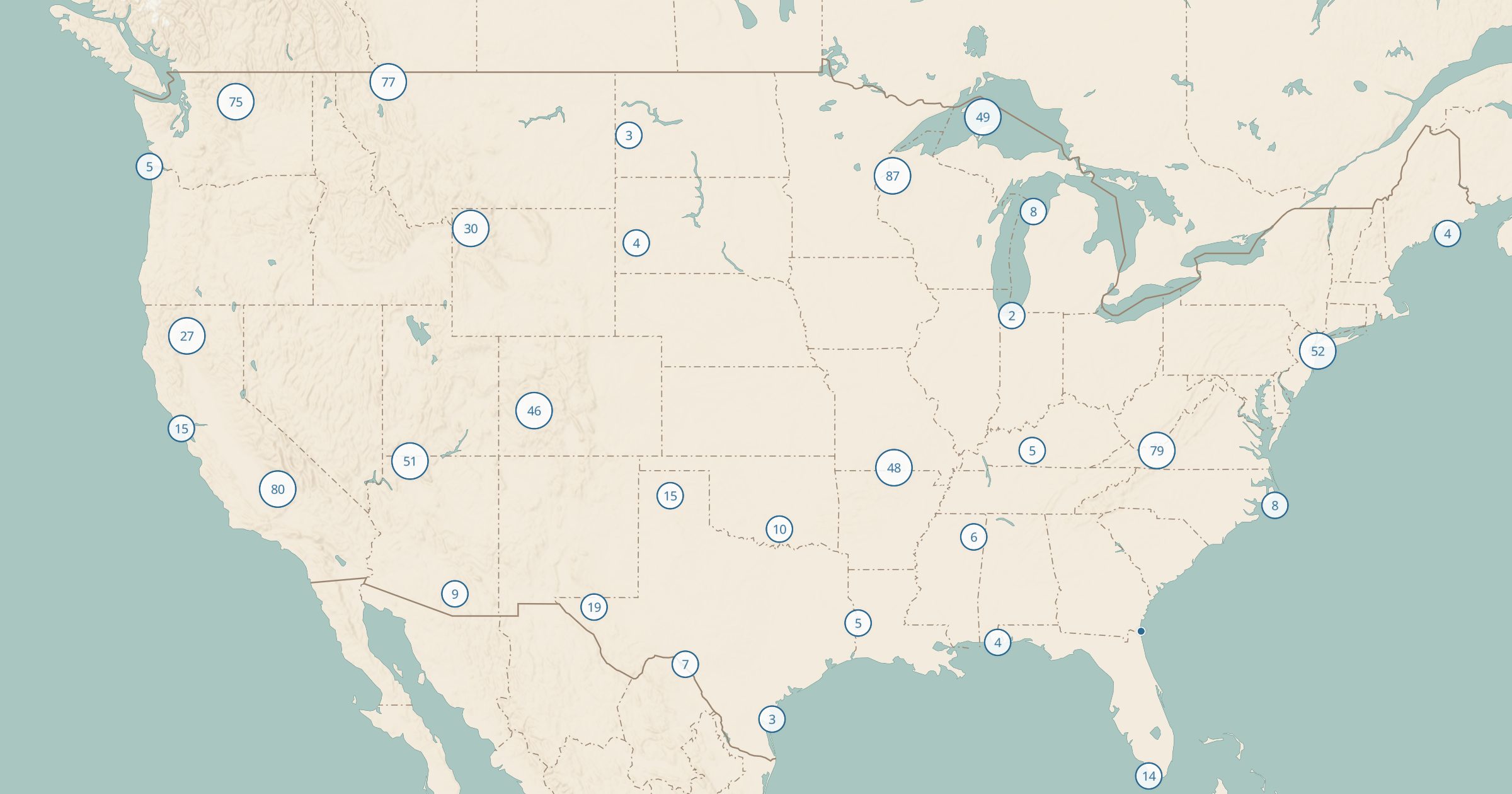
See campgrounds inside national parks and other NPS units, including frontcountry, RV, cabin and primitive sites, on one interactive map.
 Explore this map →
- 875campgrounds
- NPSsource
- Public domainlicense
- 98layers to stack it with
About this layer
Campgrounds inside national parks fill fast, so knowing every option in and around a park matters. This layer maps 875 campgrounds inside National Park Service units, drawn from the NPS Points of Interest data. It covers frontcountry campgrounds, RV areas, cabins and primitive sites, so you see more than the one big campground everyone books.
Turn on National Park Service Sites to see the park boundary, then add Forest Service and BLM campgrounds to find backup options just outside it. For a park visit, combine this with National Park Trails, Toilets and Drinking Water to plan where to sleep and where to hike each day. Open a campground to see what NPS lists for it.