

USFS Inventoried Roadless Areas Map
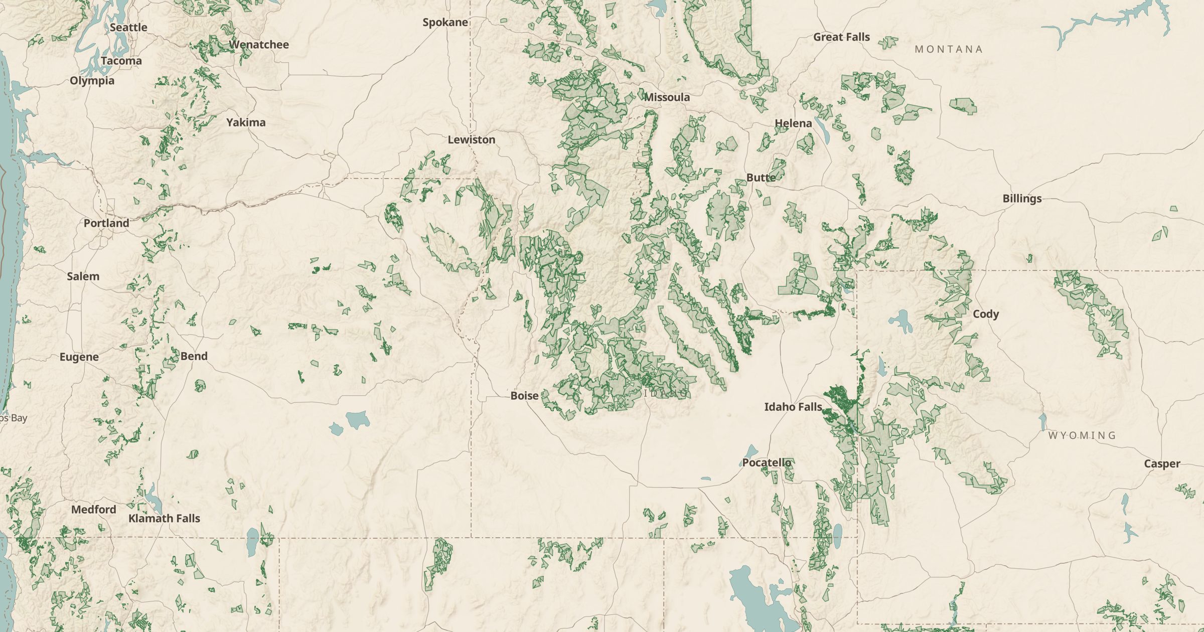
Map Inventoried Roadless Areas on National Forest System land, protected under the 2001 Roadless Rule. Find large, undeveloped forest backcountry.
 Explore this map →
- 3,873roadless areas
- USFSsource
- Public domainlicense
- 98layers to stack it with
About this layer
Inventoried Roadless Areas are large stretches of national forest without roads, identified and protected under the 2001 Roadless Area Conservation Rule. They are not designated wilderness, but they share much of its character, and they are often where you find quiet backcountry outside the big-name areas.
This layer maps those areas from USDA Forest Service Inventoried Roadless Areas data. Use it alongside Wilderness Areas to see the full extent of unroaded country in a forest, or with Forest Service Trails to find routes into it. It also helps explain local news and policy debates about logging and road building, since the rule and its exemptions have been argued over for years.