

Forest Service Special Interest Areas Map
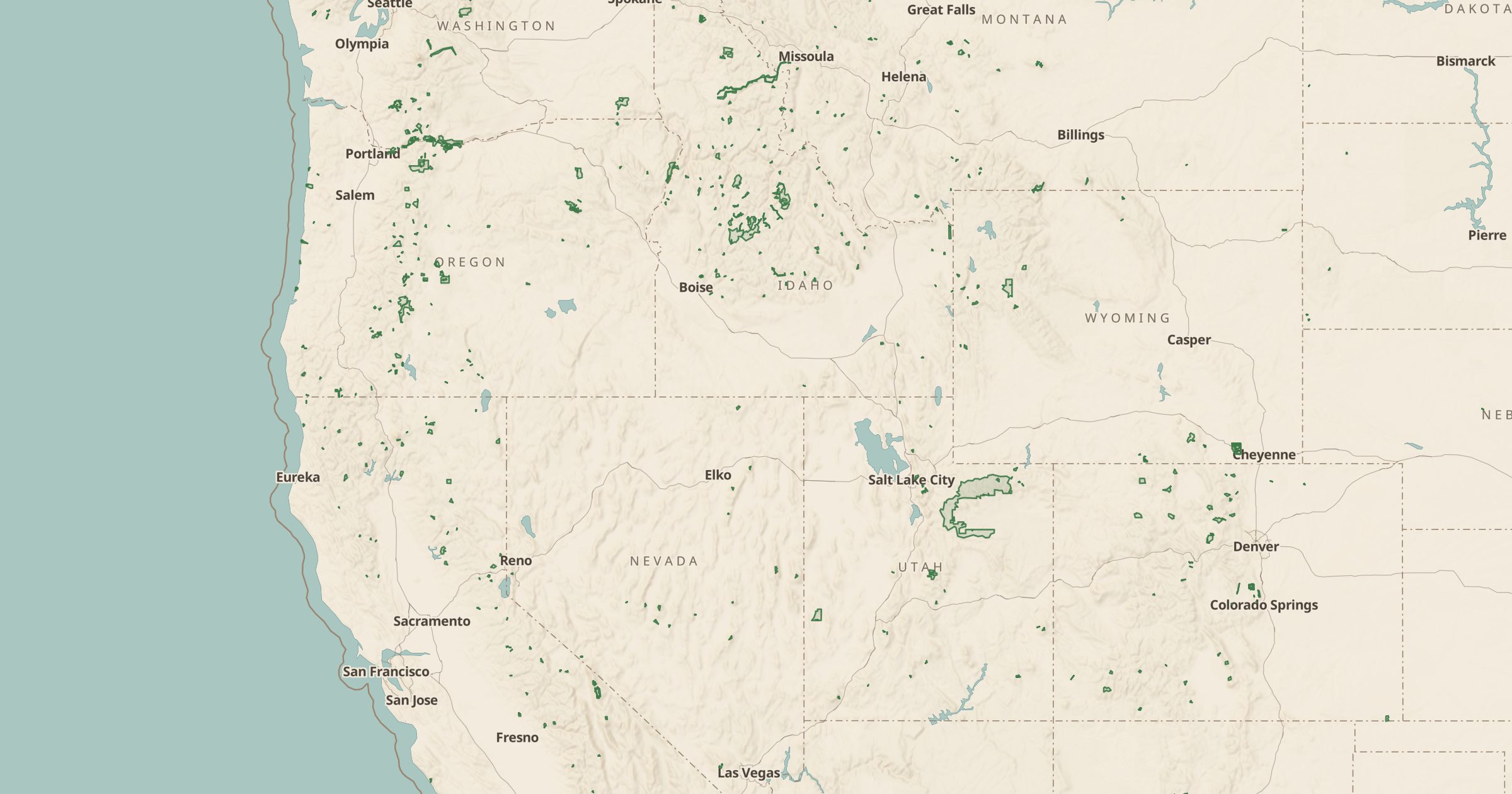
Map Forest Service special interest areas: scenic areas, recreation areas, research natural areas, botanical and geological areas.
 Explore this map →
- 1,906areas
- USFSsource
- Public domainlicense
- 98layers to stack it with
About this layer
National forests set aside smaller areas for special management, from scenic areas and recreation areas to research natural areas that protect ecosystems for study. This layer maps 1,906 of these special interest management areas from USDA Forest Service data. They include places like national recreation trails, botanical areas and geological sites that the Forest Service considers worth highlighting.
Turn on the layer to find notable spots inside a forest you thought you knew, or to understand why certain uses are restricted in one corner of it. It pairs well with Forest Service Trails and Viewpoints, and with Wilderness Areas and Roadless Areas to see the full range of protected forest land.