

Ski Resorts Map of the US (OpenSkiData)
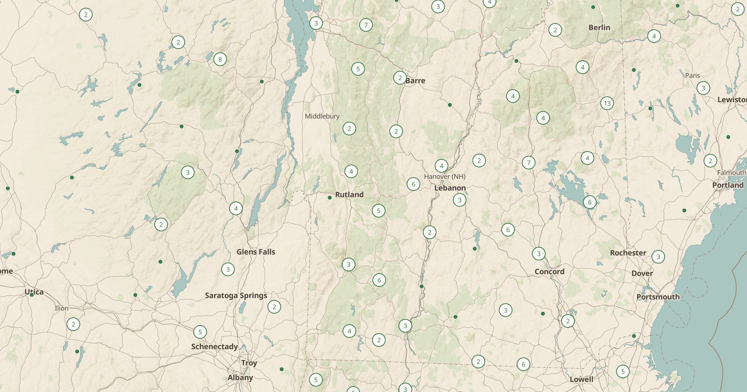
Map 1,466 US ski areas from OpenSkiData, from major resorts to small local hills. Pair with snowpack stations and 3D terrain.
 Explore this map →
- 1,466ski areas
- OpenStreetMapsource
- ODbL 1.0license
- 98layers to stack it with
About this layer
The US has far more ski areas than the big-name resorts, including small local hills, community ski areas and closed areas that still show up in old trail maps. This layer maps 1,466 US ski areas from OpenSkiData, which builds on OpenStreetMap and Skimap.org data under the ODbL.
Use it to find a small, affordable hill near home, plan a ski trip across a region, or see how ski areas cluster in Colorado, Utah, Vermont and the Sierra. Pair it with SNOTEL Snow Stations to follow snowpack nearby, and switch to 3D terrain to see the mountains. In summer, many ski areas offer lift-served hiking and biking, so the layer is useful all year.