

LWCF Land & Water Conservation Parcels Map
Map land acquired or assisted with Land and Water Conservation Fund money on or near National Forest System land.
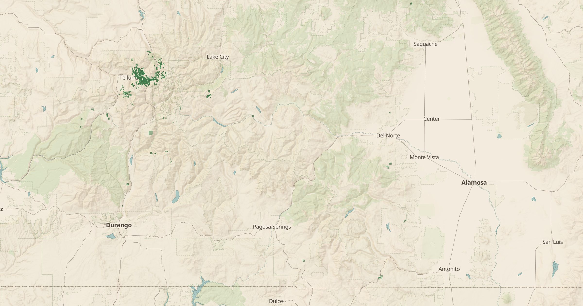 Explore this map →
- 128parcels
- USFSsource
- Public domainlicense
- 98layers to stack it with
About this layer
The Land and Water Conservation Fund, created by Congress in 1964, uses revenue from offshore oil and gas leasing to buy and protect land for public recreation. This layer maps parcels on or near National Forest System land that were acquired or assisted with LWCF money, from USDA Forest Service data.
Seeing these parcels shows how public land gets pieced together over time: an inholding bought here, a river access there. The layer is useful for conservation groups, journalists and anyone curious about where public access came from. Pair it with Land Ownership to see how LWCF parcels connect larger blocks of public land, and with trails and trailheads to see the access they created.