

Swim Spots Map: Swimming Areas & Baths
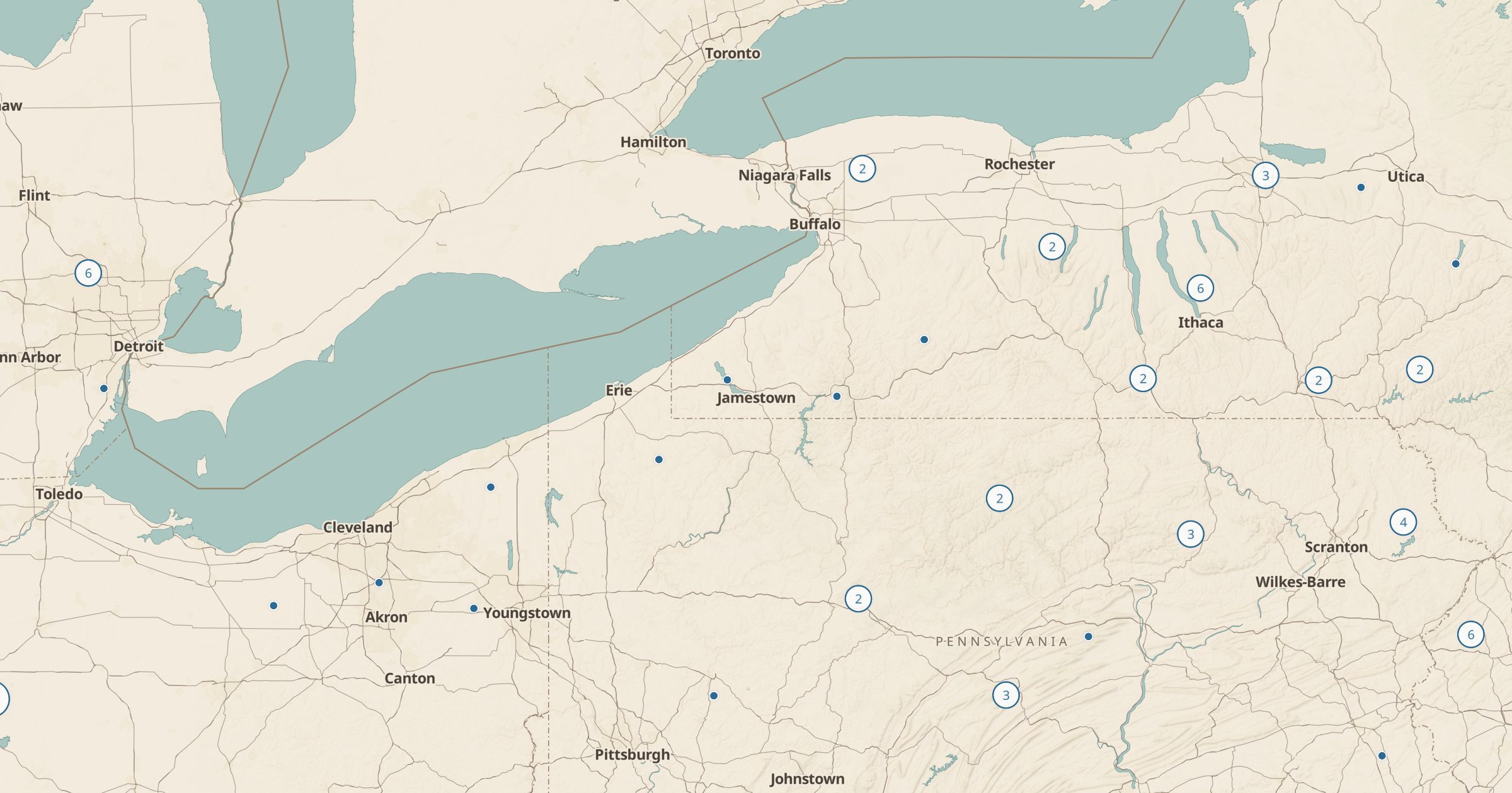
Map swimming areas, bathing places and public baths recorded in OpenStreetMap across the US. Find somewhere to cool off on a hot day.
 Explore this map →
- 1,109swim spots
- OpenStreetMapsource
- ODbL 1.0license
- 98layers to stack it with
About this layer
On a hot day, a place to swim matters more than almost anything else. This layer maps swimming areas, bathing places and public baths recorded in OpenStreetMap, with data © OpenStreetMap contributors under the ODbL. It covers designated lake swimming areas, river spots and public bathhouses where mappers have tagged them.
It is not a complete list of swimming holes, and many informal spots are left off on purpose. Check posted rules, currents and water advisories before you go in, and never swim alone in moving water. Combine it with Beaches, Hot Springs and Waterfalls for more ideas, or with campgrounds to find a site close to the water.