

Beaches Map of the US
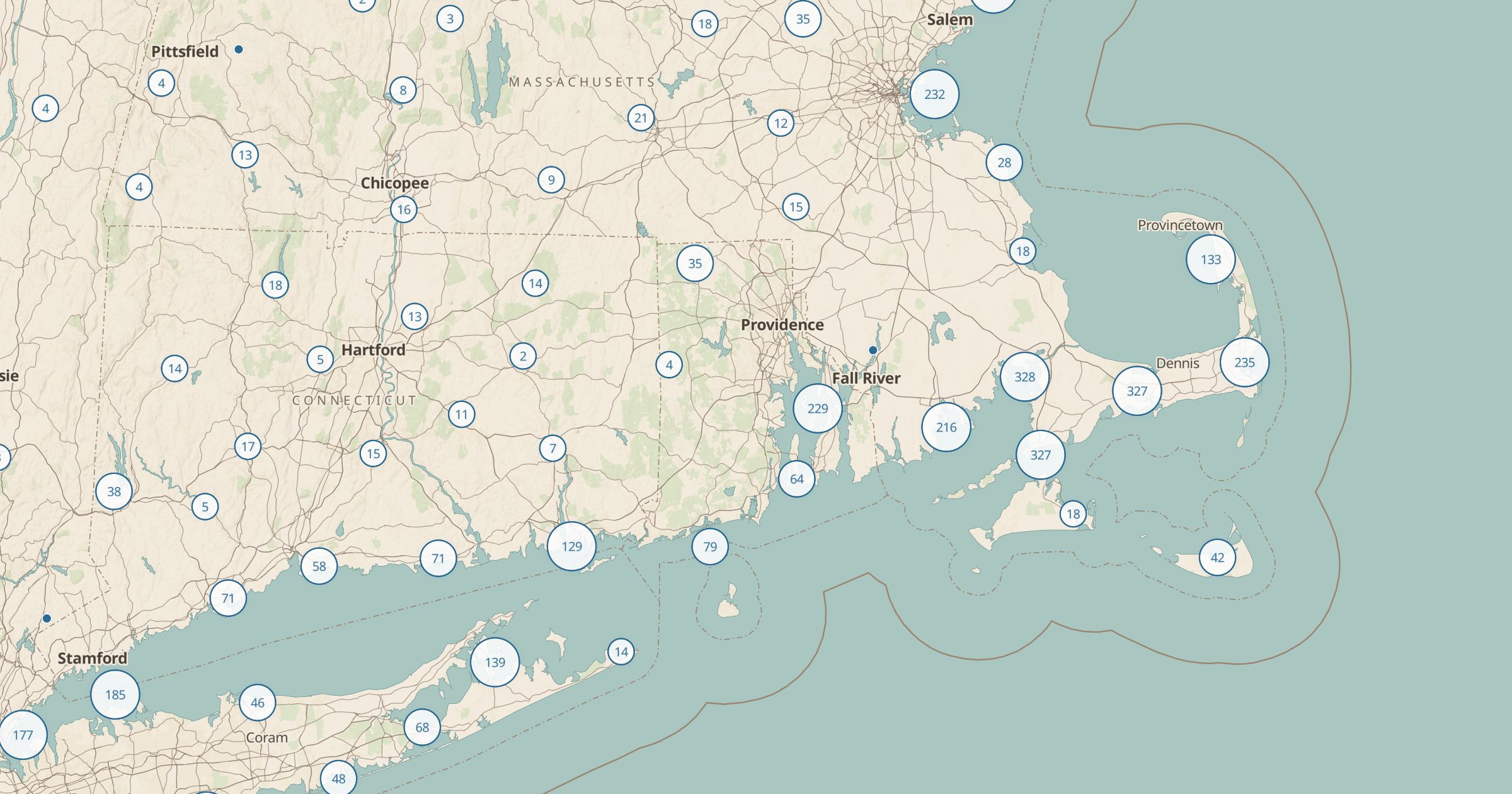
Map beaches and lifeguard stations recorded in OpenStreetMap, on ocean coasts, lakes and rivers across the US. Plan your next beach day.
 Explore this map →
- 21,943beaches
- OpenStreetMapsource
- ODbL 1.0license
- 98layers to stack it with
About this layer
Beaches are not only on the ocean. This layer maps beaches and lifeguard stations recorded in OpenStreetMap, with data © OpenStreetMap contributors under the ODbL, on sea coasts, Great Lakes shores, inland lakes and rivers. A filter separates beaches from lifeguard stations, which helps if you want a guarded spot for a swim with kids.
Use it to find a lake beach near a campground, compare stretches of coast on a road trip or look for a quieter place than the famous one. Conditions, water quality and access change, so check local advisories before you swim. Pair it with Swim Spots, Tide Stations and Picnic Areas to plan the whole day.