

Boundary Stones & Survey Marks Map
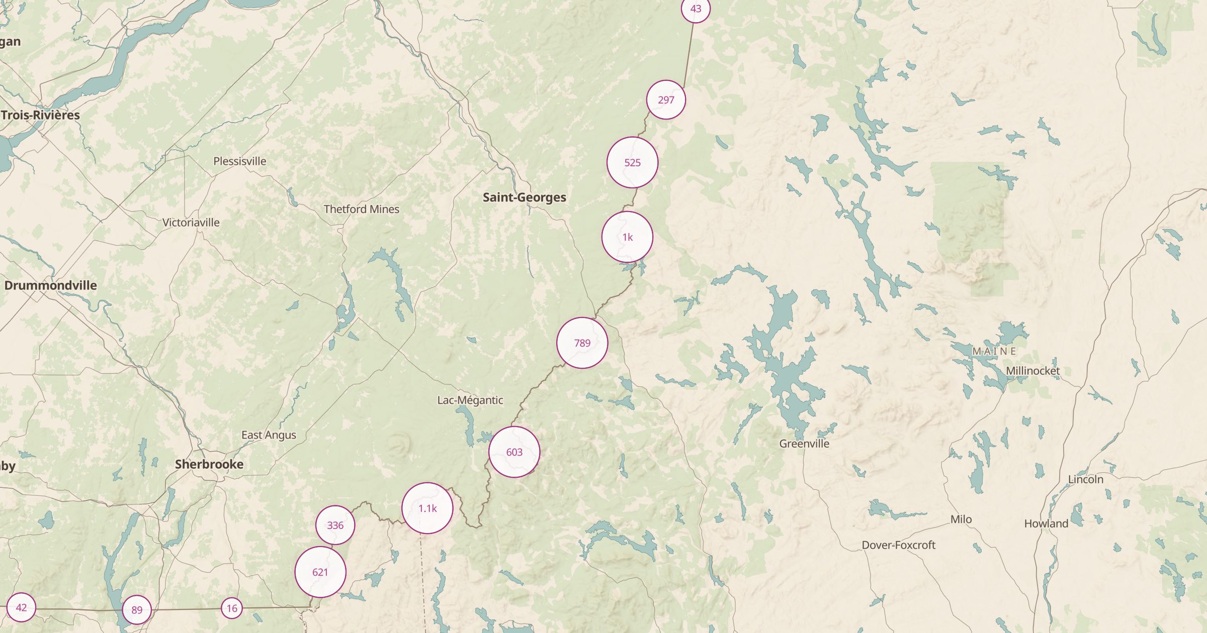
Map historic boundary stones and survey points recorded in OpenStreetMap. Find the markers that set state lines and land surveys.
 Explore this map →
- 16,960survey marks
- OpenStreetMapsource
- ODbL 1.0license
- 98layers to stack it with
About this layer
State lines and land surveys were once marked on the ground with stones, posts and brass disks, and many are still there. This layer maps historic boundary stones and survey points recorded in OpenStreetMap, with data © OpenStreetMap contributors under the ODbL, and a filter separates the types.
It is a niche but rewarding layer for history fans, hikers and anyone curious about how the map was made. Some markers sit by trails or roads, others are on private property, so ask permission where needed and never disturb a mark, since many are still used. Combine it with PLSS Townships to see the survey grid, or with Land Ownership to understand the boundaries around you.