

National Heritage Areas Map: All 62 NHAs
Map all 62 National Heritage Areas, places designated by Congress for their history, culture and landscape, in partnership with the Park Service.
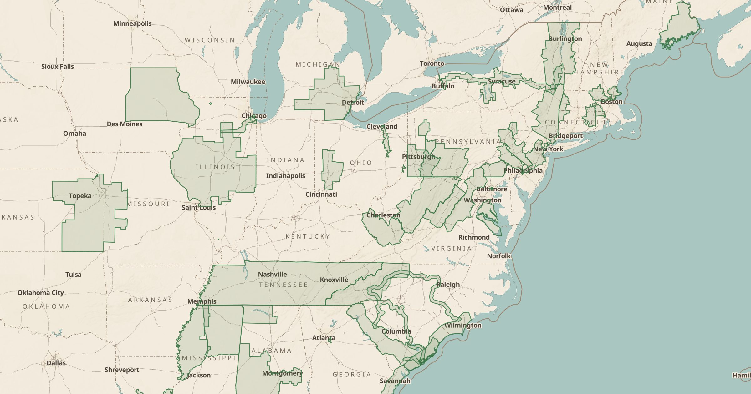 Explore this map →
- 62heritage areas
- NPSsource
- Public domainlicense
- 98layers to stack it with
About this layer
National Heritage Areas are regions that Congress has recognized for telling an important part of the American story, such as industrial history, river cultures or Civil War landscapes. They are not federally owned parks; local organizations manage them in partnership with the National Park Service. This layer maps all 62 National Heritage Areas from NPS data.
Many cover whole river valleys or groups of counties, with museums, historic towns and trails inside them. Use the layer to find a theme for a road trip, then turn on National Park Service Sites, Scenic Byways and Historic Lighthouses or Covered Bridges to fill in the stops. It is a good layer for history-focused travel.