

Historic Forts Map of the US
Map historic forts recorded in OpenStreetMap across the US, from coastal batteries to frontier posts. Plan a history road trip.
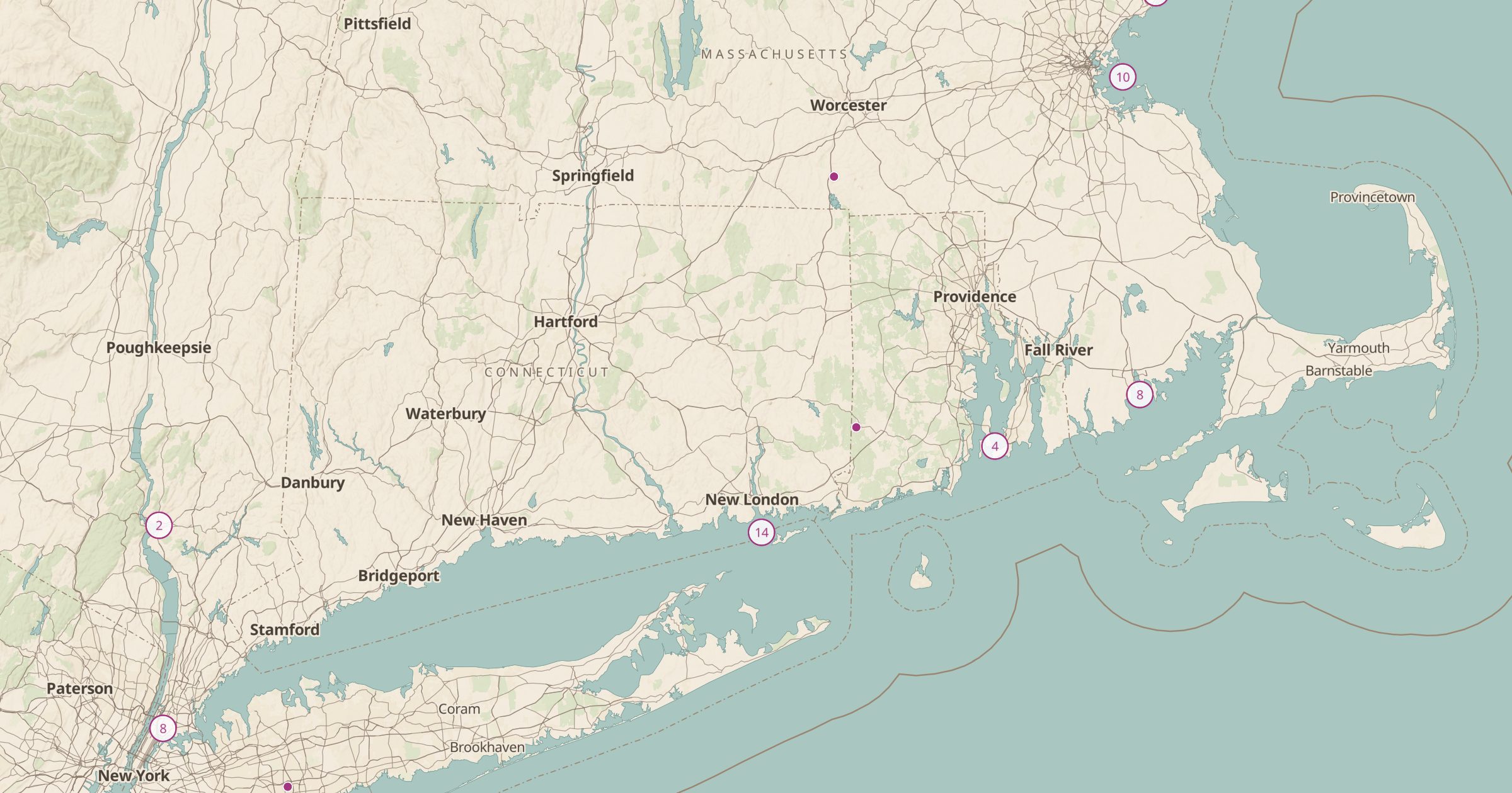 Explore this map →
- 1,819forts
- OpenStreetMapsource
- ODbL 1.0license
- 98layers to stack it with
About this layer
Forts mark the frontiers, coastlines and conflicts that shaped the country. This layer maps historic forts recorded in OpenStreetMap, with data © OpenStreetMap contributors under the ODbL, from coastal fortifications to frontier posts and earthworks. Some are preserved as parks or museums, while others survive only as a marker or a few walls.
Use it to plan a history road trip, find the fort behind a town's name or explore the defenses along a stretch of coast. Check the site before you go, since some sit on private or military land. Pair it with National Park Service Sites, Lighthouses and Former Military Sites to follow military history across a region.