

Ruins & Abandoned Places Map
Map ruins and abandoned buildings and structures recorded in OpenStreetMap. Many are on private land, so respect closures and signs.
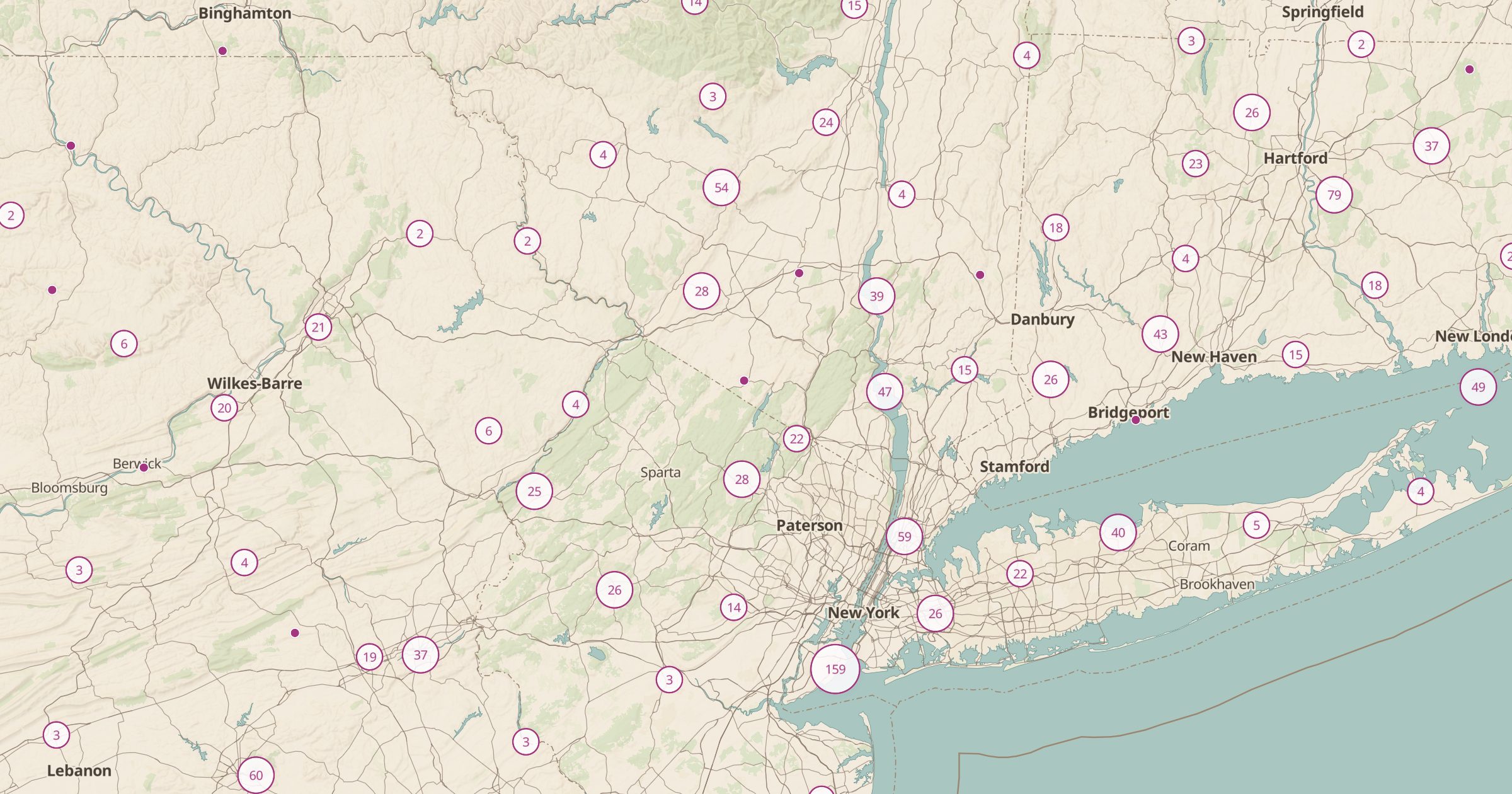 Explore this map →
- 15,754ruins and abandoned places
- OpenStreetMapsource
- ODbL 1.0license
- 98layers to stack it with
About this layer
Old foundations, roofless stone buildings and abandoned structures dot the American landscape. This layer maps ruins and abandoned places recorded in OpenStreetMap, with data © OpenStreetMap contributors under the ODbL, and a filter separates the types. It is a window into forgotten history, from homesteads to industrial sites.
Many of these places are on private land, unstable or protected, so view them from public ground, respect closures and never enter a building that is unsafe. Archaeological sites are protected by law: leave everything where it is. Pair the layer with Ghost Towns, Mines and Prospects and Abandoned Rail Lines to see how places grew and emptied, or with Land Ownership to check access.