

Abandoned Railroads & Rail-Trails Map
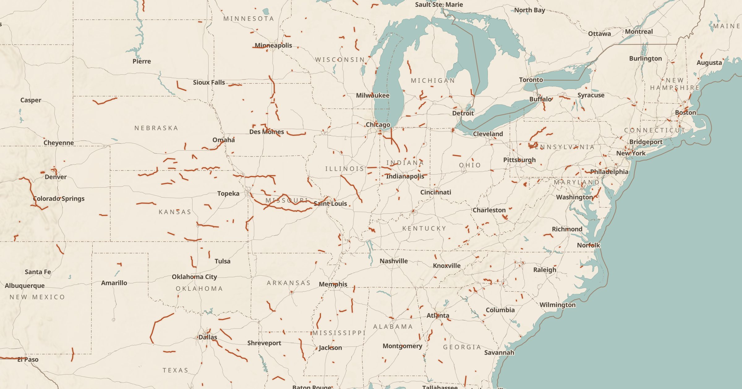
Map rail lines approved for abandonment or railbanked in Surface Transportation Board filings, mostly 2004 and later. Find future rail-trails.
 Explore this map →
- 701rail lines
- STBsource
- Public domainlicense
- 98layers to stack it with
About this layer
When a railroad wants to stop operating a line, it files with the federal Surface Transportation Board. Some lines are abandoned outright, while others are railbanked, which keeps the corridor intact for possible future rail use and often allows a trail in the meantime. This layer maps 701 rail lines approved for abandonment or railbanked in STB filings, mostly from 2004 and later.
It is a useful map for rail-trail advocates, cyclists and local historians looking for old corridors and future trail projects. Pair it with Amtrak Stations to compare with active passenger rail, with Ghost Towns for places the railroad left behind, and with Planes, Trains and Tanks on Display for preserved equipment.