

Highway Rest Areas Map of the US
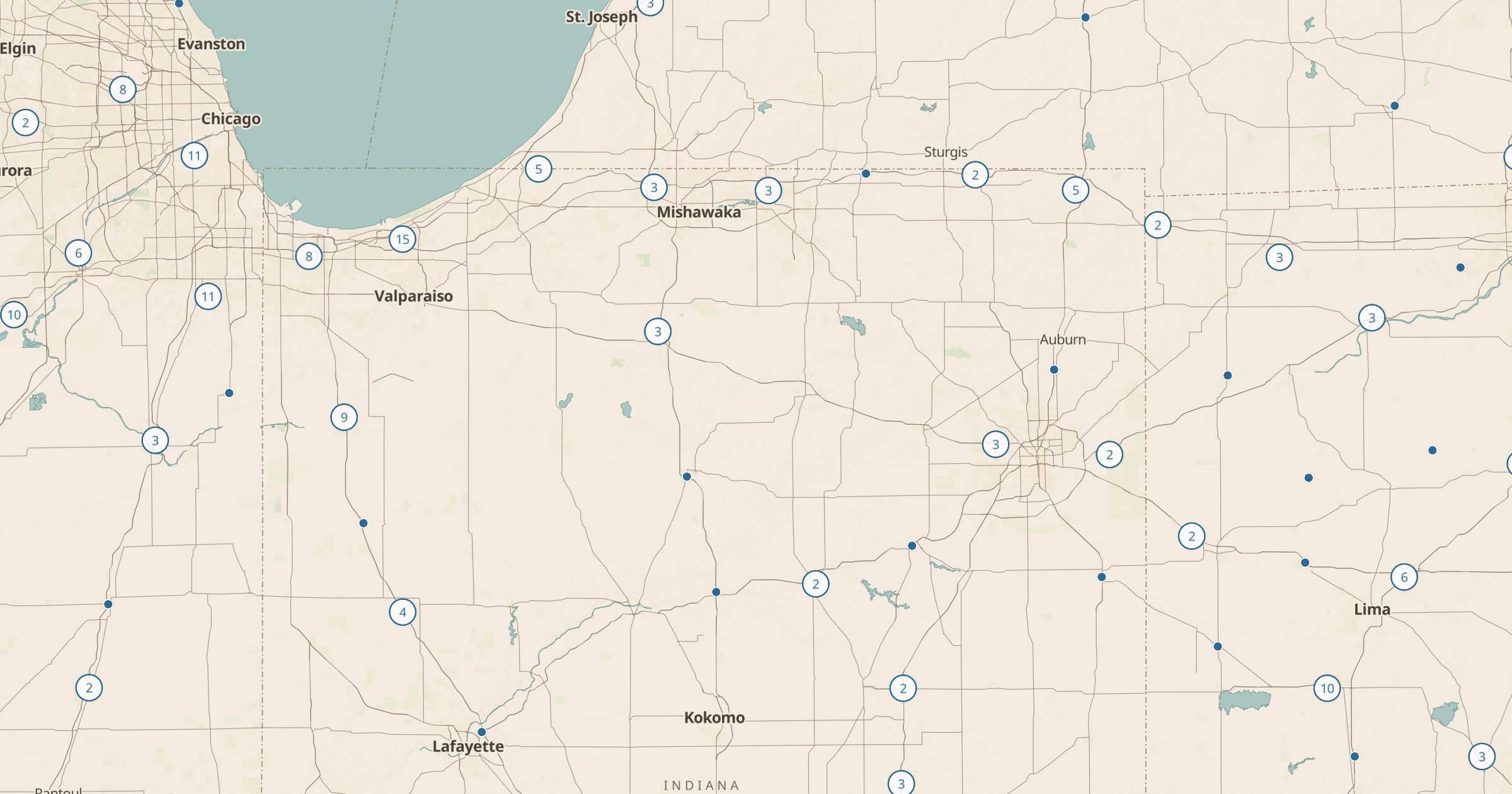
Map highway rest areas and service areas across the US from OpenStreetMap, with toilets and drinking water where mapped.
 Explore this map →
- 5,640rest areas
- OpenStreetMapsource
- ODbL 1.0license
- 98layers to stack it with
About this layer
Rest areas break up long drives with a place to stretch, use a restroom and refill water. This layer maps highway rest areas and service areas recorded in OpenStreetMap, with data © OpenStreetMap contributors under the ODbL. Where mappers have tagged them, points note toilets and drinking water, and a filter separates the types.
Use it to plan stops on an interstate road trip, find a break before a long stretch with few services, or check where you can stop with kids or a dog. Overnight rules vary by state and many rest areas post time limits, so read the signs. Add Scenic Byways, Overnight Parking and Dump Stations to plan the whole drive.