

Picnic Areas & BBQ Grills Map
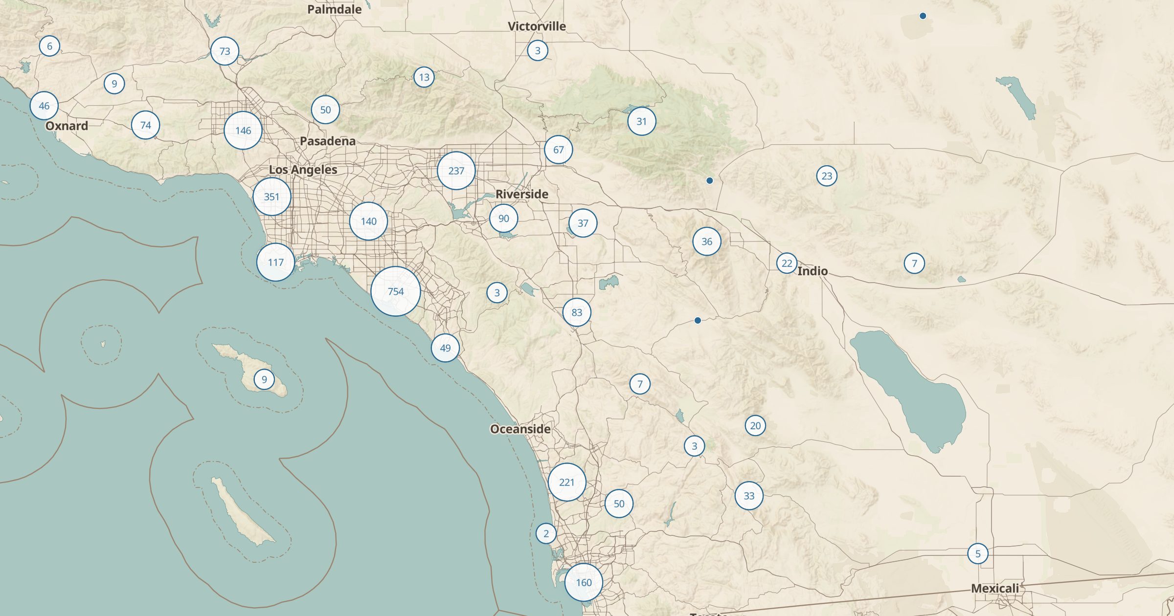
Map picnic sites, BBQ grills and fire pits recorded in OpenStreetMap across the US. Find a spot for lunch on a hike or a road trip.
 Explore this map →
- 43,985picnic sites
- OpenStreetMapsource
- ODbL 1.0license
- 98layers to stack it with
About this layer
A good picnic spot can turn a long drive into a better day. This layer maps picnic sites, barbecue grills and fire pits recorded in OpenStreetMap, with data © OpenStreetMap contributors under the ODbL. Points cover city parks, waysides, trailheads and lakeshores, and a filter separates tables, grills and fire pits.
Use it to plan lunch on a road trip, find a grill for a family cookout or choose a stop with a view. Check local fire rules before lighting anything, since many areas restrict fires in dry seasons. Add Viewpoints, Beaches and Toilets to pick a stop with everything you need, or Scenic Byways to line up picnic breaks along a drive.