

Mountain Peaks & Passes Map of the US
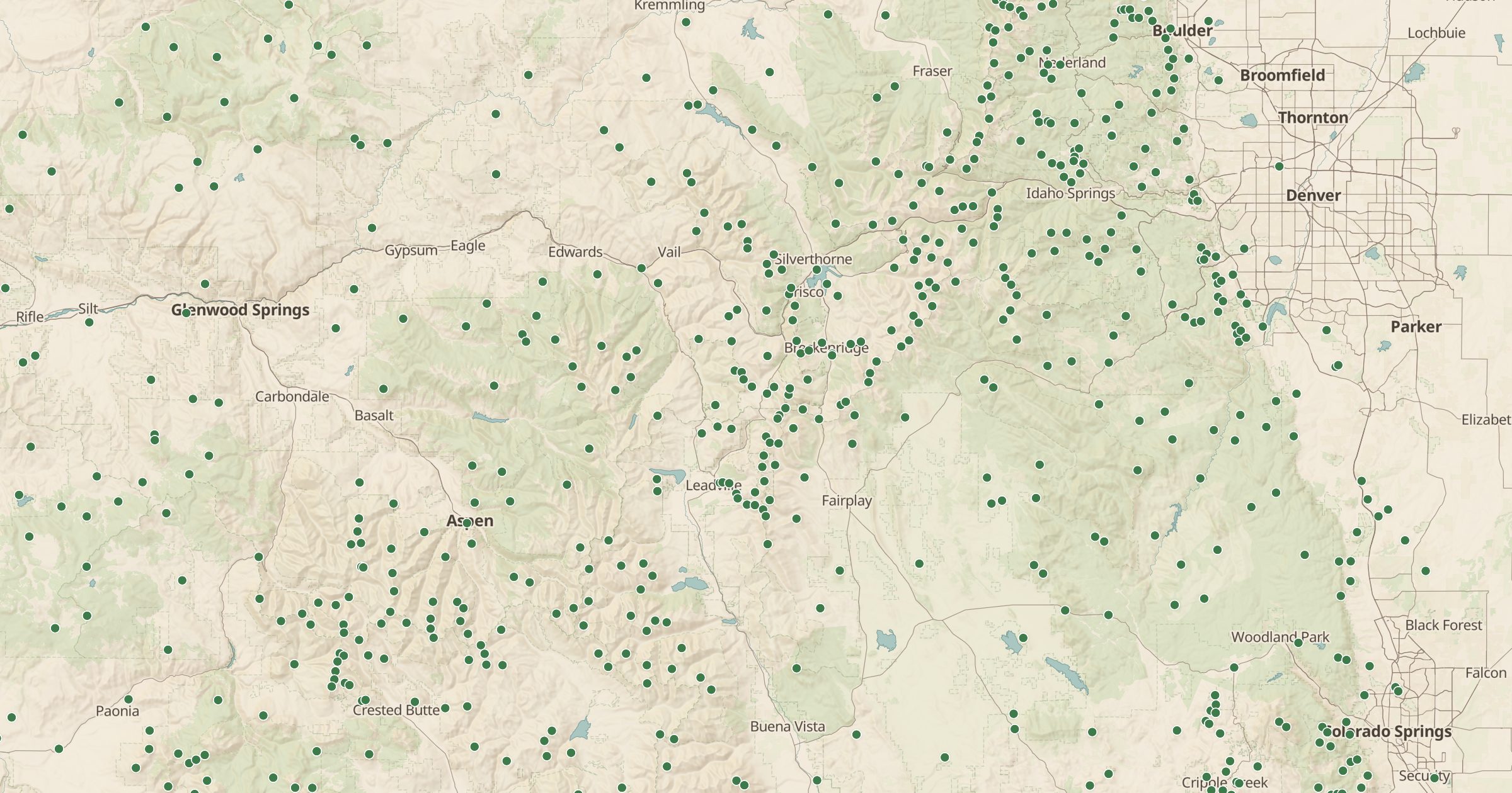
Map mountain peaks and passes recorded in OpenStreetMap, with elevation where mapped. Find summits and saddles for your next hike.
 Explore this map →
- 99,378peaks and passes
- OpenStreetMapsource
- ODbL 1.0license
- 98layers to stack it with
About this layer
Peaks and passes are the landmarks hikers and drivers navigate by. This layer maps mountain peaks and passes, also called saddles, recorded in OpenStreetMap, with data © OpenStreetMap contributors under the ODbL, including elevation where it is mapped. A filter separates peaks from passes, and the list lets you search for a summit by name.
Points load from regional zoom, so zoom in on a range to see them. Use it to pick a summit for a hike, read the shape of a range or find the pass a road climbs over. Combine it with Forest Service Trails, Wilderness Areas and Fire Lookout Towers to plan a climb, and always check conditions before you go.